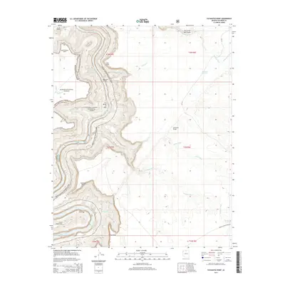
2014 Map of Tatahatso Point
USGS Topo · Published 2014About this map
Point Hansbrough and the dramatic bend of the Colorado River define this corner of the High Desert, where federal lands meet at the boundary of Kaibab National Forest and Grand Canyon National Park. The landscape is a complex system of drainage and relief, marked by deep incisions like South Canyon and Nautiloid Canyon. Named features such as The Bridge of Sighs and the Anasazi Foot Bridge suggest the human history of traversing this difficult terrain on foot. Infrastructure is minimal, consisting of remote water catchments like Tank Number Seven and livestock resources such as Black Spot Reservoir. To the east, the plateau is dissected by long washes including Shinumo Wash and LeChee Wash, providing a clear view of the hydraulic patterns that shape the Marble Canyon region before they reach the main river corridor.
Find a feature on this map
30 named features on this map. Tap any name to fly to it.
Don’t see what you’re looking for? This feature index may not catch every label — zoom into the map to look around manually.
Map Details
Editions of this 2014 Tatahatso Point Map
This is the sole edition of this map. No revisions or reprints were ever made.
Other maps of this area
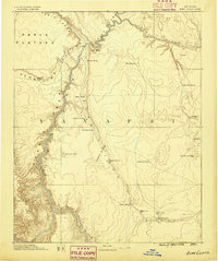
1886 · Echo Cliffs
USGS Topo · 1:250,000
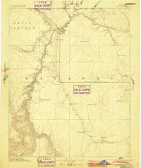
1891 · Echo Cliffs
USGS Topo · 1:250,000
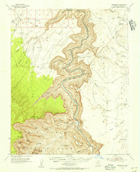
1954 · Nankoweap
USGS Topo · 1:62,500
1954 · Tanner Wash
USGS Topo · 1:62,500
1954 · Emmett Wash
USGS Topo · 1:62,500
1954 · Shinumo Altar
USGS Topo · 1:62,500

1956 · Marble Canyon
USGS Topo · 1:250,000

1959 · Marble Canyon
USGS Topo · 1:250,000

1961 · Marble Canyon
USGS Topo · 1:250,000
1983 · Tuba City
USGS Topo · 1:100,000