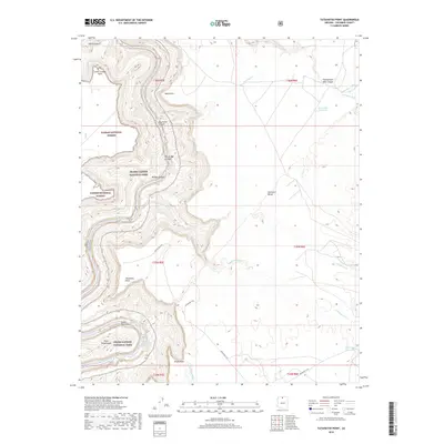
2018 Map of Tatahatso Point
USGS Topo · Published 2018About this map
Grand Canyon National Park dominates this survey, where the Colorado River carves through the earth to reveal the spectacular geomorphology of Marble Canyon. The landscape is defined by sheer verticality and the erosive power of water, visible in the intricate branching of Shinumo Wash and the deep incision of Nautiloid Canyon. Human passage through this forbidding terrain is marked by the Anasazi Foot Bridge and the winding path of Indian Rte 6110 across the high plateaus. Within the Kaibab National Forest, features like The Bridge of Sighs and Point Hansbrough stand as prominent landmarks above the river. The map also captures several vital water sources in this arid environment, including Hanging Springs and the Black Spot Reservoir on the eastern plains, illustrating the careful management of natural resources on the Colorado Plateau.
Find a feature on this map
31 named features on this map. Tap any name to fly to it.
Don’t see what you’re looking for? This feature index may not catch every label — zoom into the map to look around manually.
Map Details
Editions of this 2018 Tatahatso Point Map
This is the sole edition of this map. No revisions or reprints were ever made.
Other maps of this area
1886 · Echo Cliffs
USGS Topo · 1:250,000
1891 · Echo Cliffs
USGS Topo · 1:250,000
1954 · Nankoweap
USGS Topo · 1:62,500
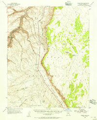
1954 · Tanner Wash
USGS Topo · 1:62,500
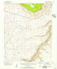
1954 · Emmett Wash
USGS Topo · 1:62,500
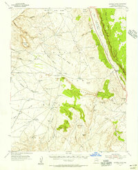
1954 · Shinumo Altar
USGS Topo · 1:62,500

1956 · Marble Canyon
USGS Topo · 1:250,000

1959 · Marble Canyon
USGS Topo · 1:250,000

1961 · Marble Canyon
USGS Topo · 1:250,000
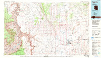
1983 · Tuba City
USGS Topo · 1:100,000