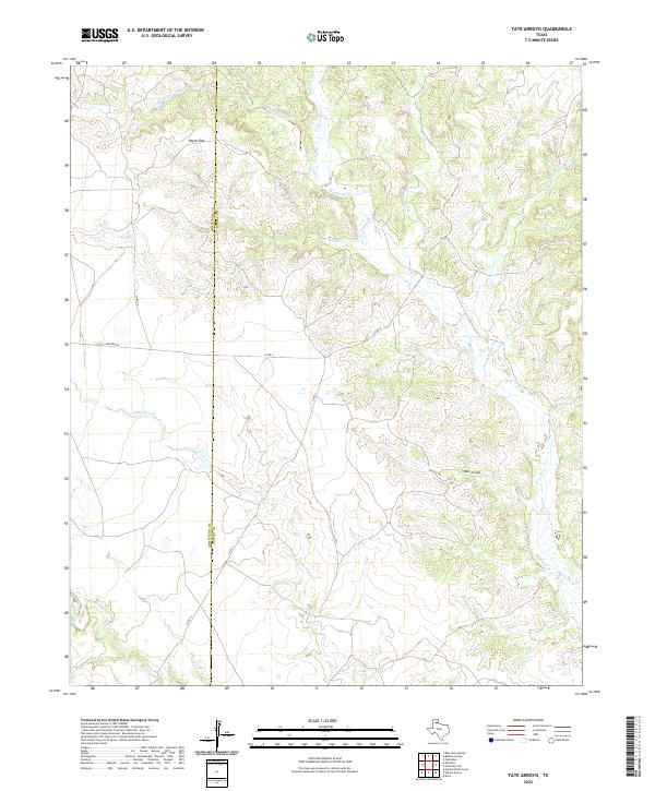
2022 Map of Tate Arroyo
USGS Topo · Published 2022About this map
Tate Arroyo and the expansive Payne Flat anchor this map of the high plains drainage system in the Texas Panhandle. The landscape is defined by an intricate network of seasonal waterways, including the winding Mulberry Cr and the descriptively named Troublesome Cr. The area is characterized by these deeply incised arroyos and creeks that drain the plateau, reflecting the erosion patterns typical of the region's geography.
Find a feature on this map
19 named features on this map. Tap any name to fly to it.
Don’t see what you’re looking for? This feature index may not catch every label — zoom into the map to look around manually.
Map Details
Editions of this 2022 Tate Arroyo Map
This is the sole edition of this map. No revisions or reprints were ever made.
Other maps of this area

1954 · Plainview
USGS Topo · 1:250,000

1958 · Plainview
USGS Topo · 1:250,000

1960 · Indian Peak
USGS Topo · 1:62,500

1960 · Brice
USGS Topo · 1:62,500

1963 · Blue Hole Springs
USGS Topo · 1:24,000

1963 · Clarendon
USGS Topo · 1:24,000

1963 · Buffalo Arroyo
USGS Topo · 1:24,000

1963 · Paloduro
USGS Topo · 1:24,000

1963 · Tate Arroyo
USGS Topo · 1:24,000

1963 · Clarendon SW
USGS Topo · 1:24,000