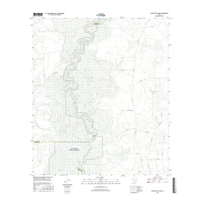
2016 Map of Tater Patch Lake
USGS Topo · Published 2016About this map
The Neches River winds in a tight, serpentine path along the borders of Tyler, Jasper, and Hardin counties, defining a landscape dominated by the protected bottomlands of the Big Thicket National Preserve. This area is characterized by a dense network of oxbow lakes and cypress sloughs, including Tater Patch Lake, Horseshoe Lake, and Sally Withers Lake, which reveal the shifting course of the river over time. The presence of Yellow Bluff provides a rare point of elevation along the water's edge.
Find a feature on this map
39 named features on this map. Tap any name to fly to it.
Don’t see what you’re looking for? This feature index may not catch every label — zoom into the map to look around manually.
Map Details
Editions of this 2016 Tater Patch Lake Map
This is the sole edition of this map. No revisions or reprints were ever made.
Other maps of this area
1952 · Lake Charles
USGS Topo · 1:250,000
1954 · Lake Charles
USGS Topo · 1:250,000
1954 · Beaumont
USGS Topo · 1:250,000
1955 · Silsbee
USGS Topo · 1:62,500
1955 · Bessmay
USGS Topo · 1:62,500
1957 · Beaumont
USGS Topo · 1:250,000
1958 · Spurger
USGS Topo · 1:62,500
1958 · Kirbyville
USGS Topo · 1:62,500
1984 · Beaumont
USGS Topo · 1:250,000
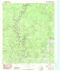
1984 · Potato Patch Lake
USGS Topo · 1:24,000