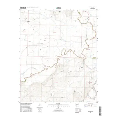
2017 Map of Tates Bluff
USGS Topo · Published 2017About this map
Tates Bluff marks the significant confluence where the Little Missouri River joins the Ouachita River, a traditional focal point for river transport and early settlement in southern Arkansas. This 2017 survey details the borderlands of Ouachita, Clark, and Dallas counties, where the river systems dictate the landscape's structure. The map captures a primarily rural environment defined by winding waterways and scattered communities such as Lunet, Vaden, and Kansas.
Find a feature on this map
64 named features on this map. Tap any name to fly to it.
Don’t see what you’re looking for? This feature index may not catch every label — zoom into the map to look around manually.
Map Details
Editions of this 2017 Tates Bluff Map
This is the sole edition of this map. No revisions or reprints were ever made.
Other maps of this area
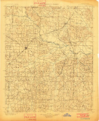
1901 · Gurdon
USGS Topo · 1:125,000
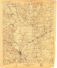
1903 · Camden
USGS Topo · 1:125,000

1953 · El Dorado
USGS Topo · 1:250,000
1957 · El Dorado
USGS Topo · 1:250,000
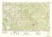
1958 · El Dorado
USGS Topo · 1:250,000
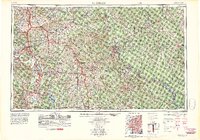
1960 · El Dorado
USGS Topo · 1:250,000
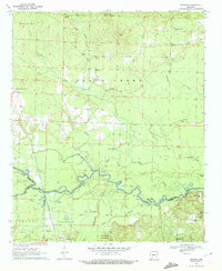
1970 · Reader
USGS Topo · 1:24,000
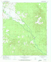
1970 · Curtis
USGS Topo · 1:24,000
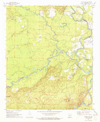
1971 · Tates Bluff
USGS Topo · 1:24,000
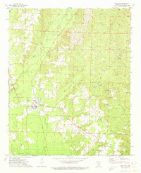
1971 · Sparkman
USGS Topo · 1:24,000