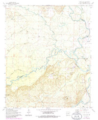
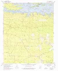
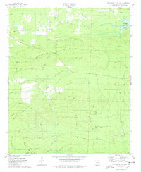
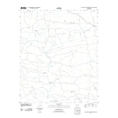
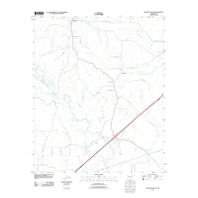
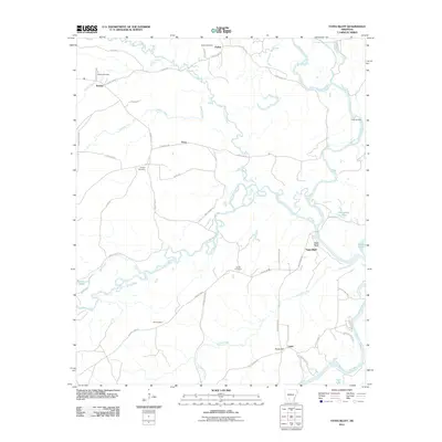
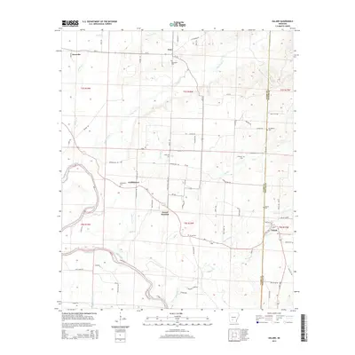
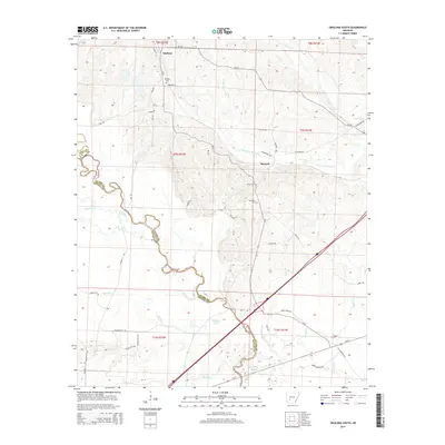
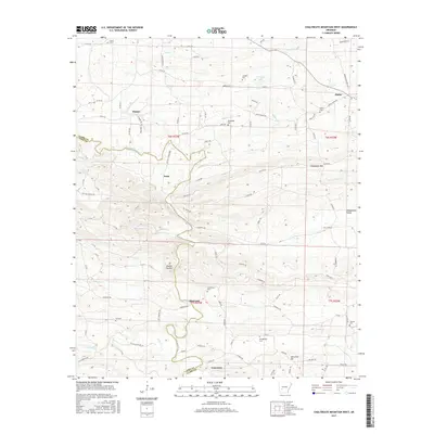
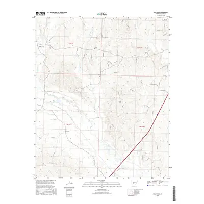
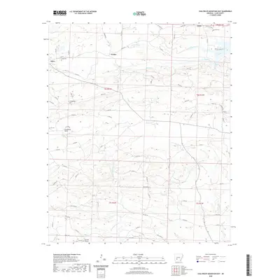
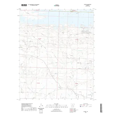
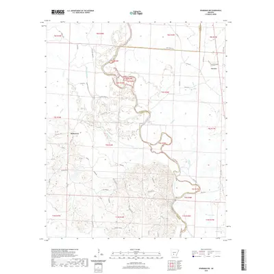
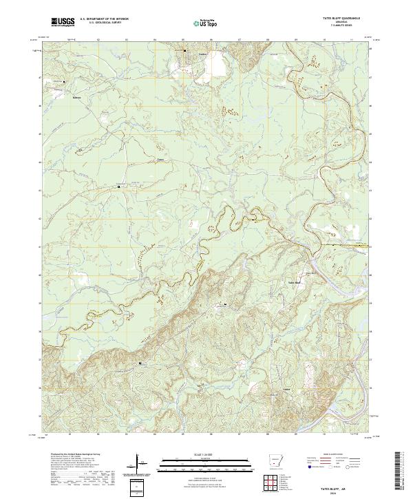
1971 Map of Tates Bluff
USGS Topo · Published 1986About this map
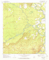
The confluence of the Ouachita River and the Little Missouri River anchors this landscape, where the borders of Clark, Ouachita, and Dallas counties meet. The settlement of Tates Bluff sits prominently near the river bend, supported by the local Tates Bluff Ch and nearby Union Ch. This 1970s survey captures a rural Arkansas river-bottom economy defined by small communities and dispersed family landmarks. To the northwest, the hamlet of Kansas is marked by the Kansas Cem and Easley Cem, while Vaden remains a focal point with its own church and cemetery. The southern reach of the map transitions into the wooded expanse of the Poison Springs State Forest, dissected by French Creek and Hamilton Creek. Numerous gravel pits across the terrain indicate active local industry amidst the winding waterways of Terre Noire Creek and Wolf Creek.
Find a feature on this map
35 named features on this map. Tap any name to fly to it.
Don’t see what you’re looking for? This feature index may not catch every label — zoom into the map to look around manually.
Map Details
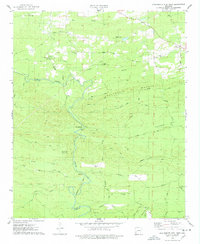
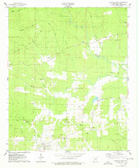
Editions of this 1971 Tates Bluff Map
2 editions found
Historical Maps of Tates Bluff Through Time
60 maps found
1965 Dalark
Clark County, AR
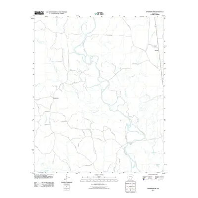
1970 Curtis
Clark County, AR
1970 De Gray
Clark County, AR
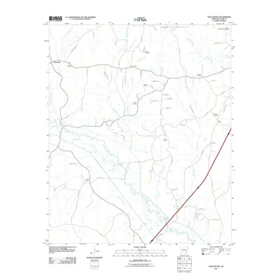
1970 Hollywood
Clark County, AR
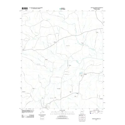
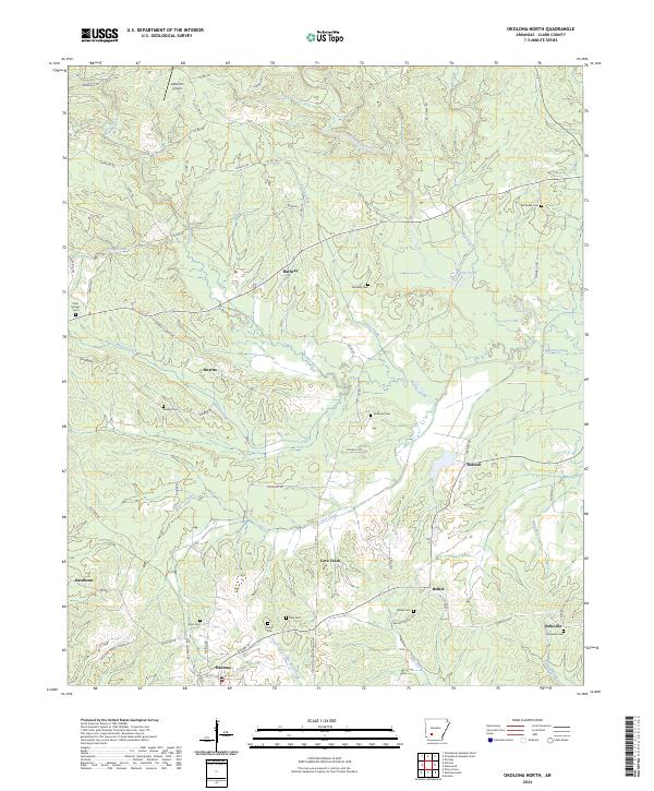
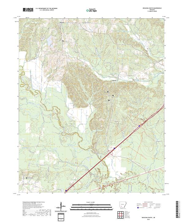
1970 Okolona South
Clark County, AR
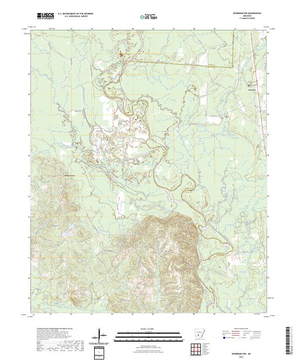
1971 Sparkman NW
Clark County, AR
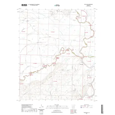
1971 Tates Bluff
Clark County, AR
1975 Chalybeate Mtn East
Clark County, AR
1975 Chalybeate Mtn West
Clark County, AR
1975 Okolona North
Clark County, AR
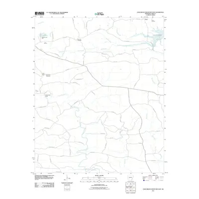
2011 Chalybeate Mountain East
Clark County, AR
2011 Chalybeate Mountain West
Clark County, AR
2011 Curtis
Clark County, AR
2011 Dalark
Clark County, AR
2011 De Gray
Clark County, AR
2011 Hollywood
Clark County, AR
2011 Okolona North
Clark County, AR
2011 Okolona South
Clark County, AR
2011 Sparkman NW
Clark County, AR
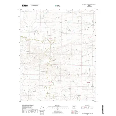
2011 Tates Bluff
Clark County, AR
2014 Chalybeate Mountain East
Clark County, AR
2014 Chalybeate Mountain West
Clark County, AR
2014 Curtis
Clark County, AR
2014 Dalark
Clark County, AR
2014 De Gray
Clark County, AR
2014 Hollywood
Clark County, AR
2014 Okolona North
Clark County, AR
2014 Okolona South
Clark County, AR
2014 Sparkman NW
Clark County, AR
2014 Tates Bluff
Clark County, AR
2017 Chalybeate Mountain East
Clark County, AR
2017 Chalybeate Mountain West
Clark County, AR
2017 Curtis
Clark County, AR
2017 Dalark
Clark County, AR
2017 De Gray
Clark County, AR
2017 Hollywood
Clark County, AR
2017 Okolona North
Clark County, AR
2017 Okolona South
Clark County, AR
2017 Sparkman NW
Clark County, AR

2017 Tates Bluff
Clark County, AR
2020 Chalybeate Mountain East
Clark County, AR
2020 Chalybeate Mountain West
Clark County, AR
2020 Curtis
Clark County, AR
2020 Dalark
Clark County, AR
2020 De Gray
Clark County, AR
2020 Hollywood
Clark County, AR
2020 Okolona North
Clark County, AR
2020 Okolona South
Clark County, AR
2020 Sparkman NW
Clark County, AR
2020 Tates Bluff
Clark County, AR
2024 Chalybeate Mountain East
Clark County, AR
2024 Chalybeate Mountain West
Clark County, AR
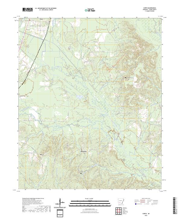
2024 Curtis
Clark County, AR
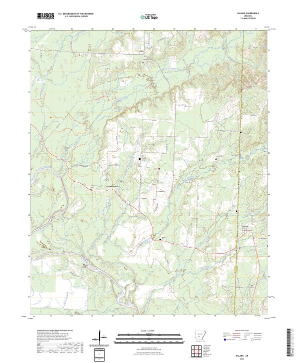
2024 Dalark
Clark County, AR
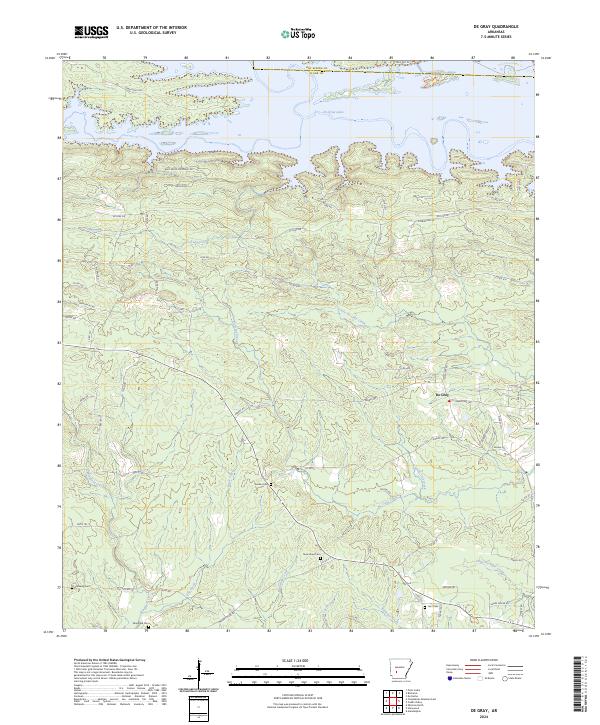
2024 De Gray
Clark County, AR
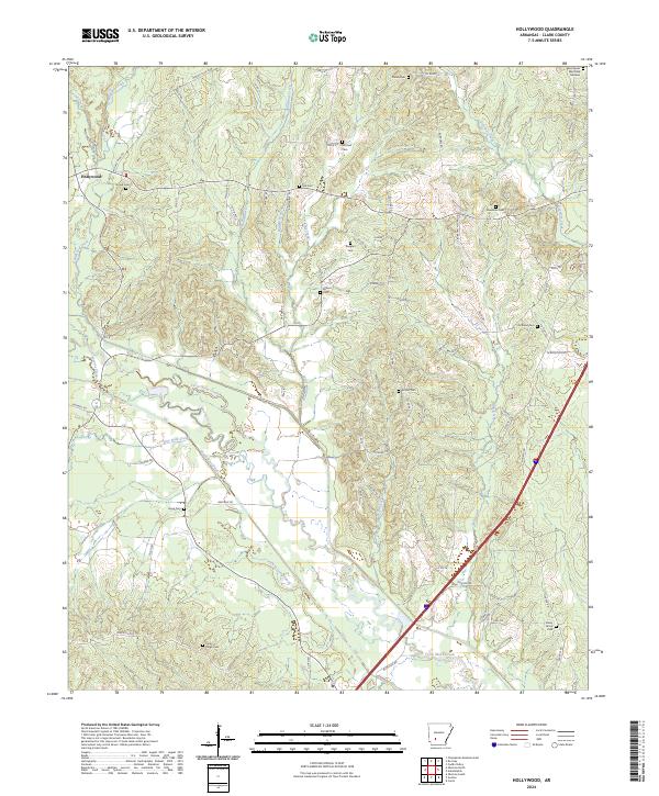
2024 Hollywood
Clark County, AR
2024 Okolona North
Clark County, AR
2024 Okolona South
Clark County, AR
2024 Sparkman NW
Clark County, AR
2024 Tates Bluff
Clark County, AR