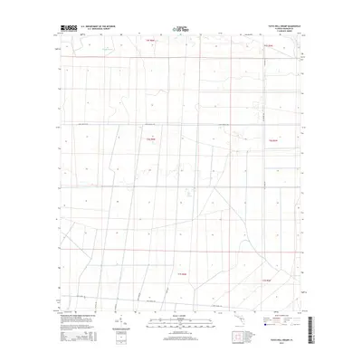
2015 Map of Tates Hell Swamp
USGS Topo · Published 2015About this map
Tates Hell Swamp defines this section of Franklin County, Florida, presenting a landscape dominated by complex hydrology and a grid of access roads. The interior is defined by various watercourses, including the winding Big Slough Branch in the north and the upper reaches of Whiskey George Creek in the southwest corner. The eastern edge is bordered by the New River, while the center of the sheet reveals the namesake Tates Hell Swamp label, a place known for its difficult terrain and local lore.
Find a feature on this map
18 named features on this map. Tap any name to fly to it.
Don’t see what you’re looking for? This feature index may not catch every label — zoom into the map to look around manually.
Map Details
Editions of this 2015 Tates Hell Swamp Map
This is the sole edition of this map. No revisions or reprints were ever made.
Other maps of this area
1943 · Carrabelle
USGS Topo · 1:24,000
1944 · Pickett Bay
USGS Topo · 1:31,680
1944 · Carrabelle
USGS Topo · 1:31,680
1944 · Green Point
USGS Topo · 1:31,680
1945 · Thousand Yard Bay
USGS Topo · 1:31,680
1945 · Tates Hell Swamp
USGS Topo · 1:31,680
1945 · Beverly
USGS Topo · 1:31,680
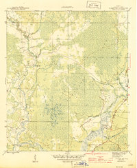
1945 · Pickett Bay
USGS Topo · 1:31,680
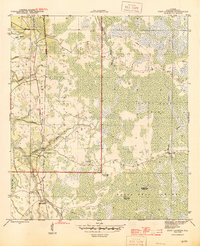
1945 · Fort Gadsden
USGS Topo · 1:31,680
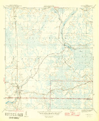
1946 · Sumatra
USGS Topo · 1:31,680