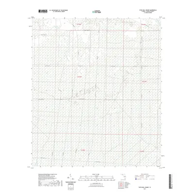
2021 Map of Tates Hell Swamp
USGS Topo · Published 2021About this map
Tates Hell Swamp dominates this coastal Florida landscape, characterized by a complex network of wetlands and drainage systems. The interior is navigated by a grid-like system of specialized forestry and access roads, including Whiskey George Rd, Gully Branch Rd, and Jet Engine Rd. These corridors provide access through the dense wetland terrain between Whiskey George Cr and the waters of Big Slough Branch.
Find a feature on this map
20 named features on this map. Tap any name to fly to it.
Don’t see what you’re looking for? This feature index may not catch every label — zoom into the map to look around manually.
Map Details
Editions of this 2021 Tates Hell Swamp Map
This is the sole edition of this map. No revisions or reprints were ever made.
Other maps of this area

1943 · Carrabelle
USGS Topo · 1:24,000

1944 · Pickett Bay
USGS Topo · 1:31,680

1944 · Carrabelle
USGS Topo · 1:31,680

1944 · Green Point
USGS Topo · 1:31,680

1945 · Thousand Yard Bay
USGS Topo · 1:31,680

1945 · Tates Hell Swamp
USGS Topo · 1:31,680

1945 · Beverly
USGS Topo · 1:31,680

1945 · Pickett Bay
USGS Topo · 1:31,680

1945 · Fort Gadsden
USGS Topo · 1:31,680

1946 · Sumatra
USGS Topo · 1:31,680