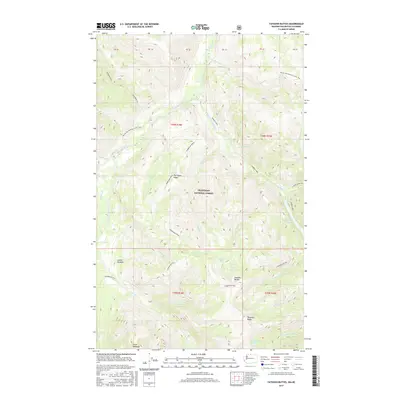
2017 Map of Tatoosh Buttes
USGS Topo · Published 2017About this map
Okanogan National Forest encompasses this high-altitude landscape along the Washington-British Columbia border, defined by the towering Tatoosh Buttes and the sprawling Ptarmigan Ridge. The drainage system is dominated by the Pasayten River and its numerous tributaries, including Bunker Hill Cr and Holdover Cr. This modern survey illustrates the convergence of remote wilderness and designated recreation, specifically highlighting the route of the Pacific NW National Scenic Trail as it traverses the northwestern slopes. Glacial features are prominent throughout the quadrangle, with Big Hidden Lake, White Lake, and Ptarmigan Lake tucked into the high basins. Notable landmarks such as Point Defiance and Sunset Meadow provide specific points of reference for those navigating the complex topography of the Tamarack Ridge area near the southern boundary.
Find a feature on this map
44 named features on this map. Tap any name to fly to it.
Don’t see what you’re looking for? This feature index may not catch every label — zoom into the map to look around manually.
Map Details
Editions of this 2017 Tatoosh Buttes Map
This is the sole edition of this map. No revisions or reprints were ever made.
Other maps of this area
1920 · Slate Pass
USGS Topo · 1:125,000

1955 · Concrete
USGS Topo · 1:250,000

1958 · Concrete
USGS Topo · 1:250,000

1962 · Concrete
USGS Topo · 1:250,000
1969 · Frosty Creek
USGS Topo · 1:24,000
1969 · Lost Peak
USGS Topo · 1:24,000
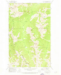
1969 · Pasayten Peak
USGS Topo · 1:24,000
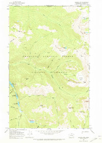
1969 · Ashnola Mtn
USGS Topo · 1:24,000
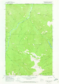
1969 · Tatoosh Buttes
USGS Topo · 1:24,000
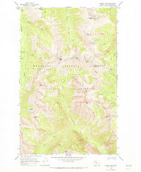
1969 · Mount Lago
USGS Topo · 1:24,000