Loading...
Loading map...2022 Map of Tatums
USGS Topo · Published 2022About this map
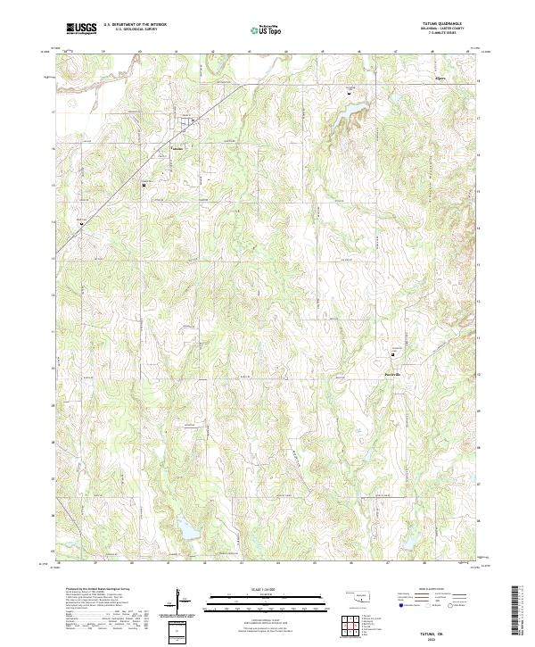
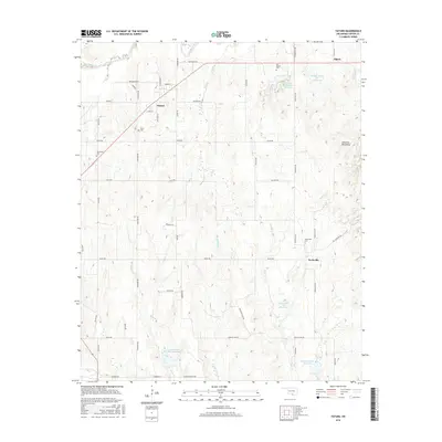
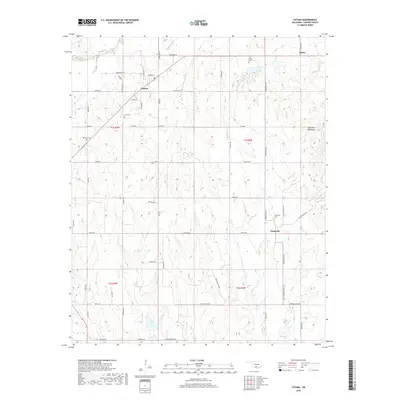
Tatums, a historic town in Carter County, sits at the heart of this landscape where the eastern plains meet the foothills of the Arbuckle Mountains. The map reveals a community defined by its rural layout and strong local heritage, evidenced by several family and town burial sites including Tatums Cem, Monk Cem, and the Oil Spring Cem to the north. These landmarks provide essential waypoints for genealogists and local historians tracing the development of this region.
Find a feature on this map
60 named features on this map. Tap any name to fly to it.
Don’t see what you’re looking for? This feature index may not catch every label — zoom into the map to look around manually.
Map Details
Date Portrayed2022
Date Published2022
PublisherU.S. Geological Survey
Map TypeTopographic
Scale1:24,000
Physical Dimensions24 x 29 inches
Editions of this 2022 Tatums Map
This is the sole edition of this map. No revisions or reprints were ever made.
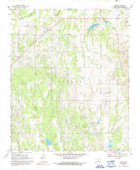
Historical Maps of Tatums Through Time
6 maps found
Featured Locations
Source Details
SourceU.S. Geological Survey
CopyrightPublic Domain