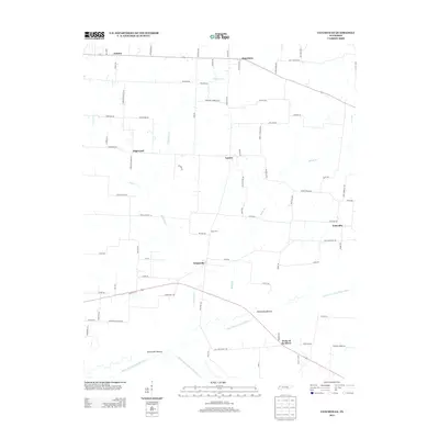
2013 Map of Tatumville
USGS Topo · Published 2013About this map
The lowlands of West Tennessee define this landscape, where the North Fork Forked Deer River and Middle Fork Forked Deer River converge at the Forks of the River. This hydrology has long dictated local land use, creating broad alluvial plains like Macedonia Bottom and Tatumville Bottom that support the region's agricultural character. Small rural communities are scattered across the higher ground, including Tatumville, Neboville, and Churchton, connected by a network of named country roads.
Find a feature on this map
83 named features on this map. Tap any name to fly to it.
Don’t see what you’re looking for? This feature index may not catch every label — zoom into the map to look around manually.
Map Details
Editions of this 2013 Tatumville Map
This is the sole edition of this map. No revisions or reprints were ever made.
Other maps of this area

1939 · Dyersburg
USGS Topo · 1:62,500

1939 · Halls
USGS Topo · 1:62,500

1952 · Bonicord
USGS Topo · 1:24,000

1952 · Newbern
USGS Topo · 1:24,000

1952 · Lane
USGS Topo · 1:24,000

1956 · Dyersburg
USGS Topo · 1:250,000

1956 · Blytheville
USGS Topo · 1:250,000

1959 · Blytheville
USGS Topo · 1:250,000

1961 · Halls
USGS Topo · 1:62,500
1961 · Dyersburg
USGS Topo · 1:62,500