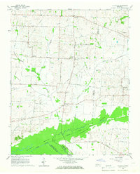
1965 Map of Tatumville
USGS Topo · Published 1967About this map
The Forked Deer River dominates the southern landscape of this mid-1960s survey, its winding course and associated wetlands like Macedonia Bottom shaping the local settlement patterns. Straddling the boundary between Dyer and Gibson Counties, the area is characterized by a dense network of country roads and small, dispersed communities. Rural life centers on named settlements such as Tatumville, Yorkville, and Churchton, with local family history preserved through landmarks like Atkins Cem and numerous congregational hubs including Mt Tirzah Ch and The Center Ch. The map illustrates a transitional period for the region's infrastructure, where traditional farming routes like Ditmore Road and Tatumville Road coexist with modern utility developments, evidenced by the multiple pipelines cutting across the terrain of Edgewood and Lapata.
Find a feature on this map
36 named features on this map. Tap any name to fly to it.
Don’t see what you’re looking for? This feature index may not catch every label — zoom into the map to look around manually.
Map Details
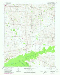
Editions of this 1965 Tatumville Map
2 editions found
Other maps of this area

1939 · Dyersburg
USGS Topo · 1:62,500

1939 · Halls
USGS Topo · 1:62,500

1952 · Bonicord
USGS Topo · 1:24,000

1952 · Newbern
USGS Topo · 1:24,000

1952 · Lane
USGS Topo · 1:24,000

1956 · Dyersburg
USGS Topo · 1:250,000

1956 · Blytheville
USGS Topo · 1:250,000

1959 · Blytheville
USGS Topo · 1:250,000

1961 · Halls
USGS Topo · 1:62,500
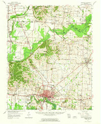
1961 · Dyersburg
USGS Topo · 1:62,500