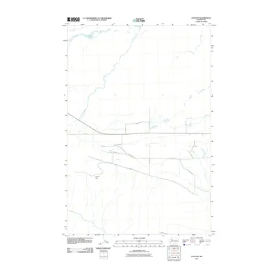
2011 Map of Taunton
USGS Topo · Published 2011About this map
Lower Crab Creek snakes through the arid landscape of Grant County, Washington, defining the drainage patterns of this sparsely populated agricultural and sagebrush region. In the early 21st century, the small settlement of Taunton remains a central point of interest, situated near the intersection of S Taunton Rd and S Danielson Rd. The map illustrates a structured grid of rural infrastructure, including W Kuhn Rd and W Gillis Rd, which serve the surrounding ranchlands and scattered residences like Anson.
Find a feature on this map
19 named features on this map. Tap any name to fly to it.
Don’t see what you’re looking for? This feature index may not catch every label — zoom into the map to look around manually.
Map Details
Editions of this 2011 Taunton Map
This is the sole edition of this map. No revisions or reprints were ever made.
Other maps of this area

1923 · Corfu
USGS Topo · 1:62,500

1924 · Othello
USGS Topo · 1:62,500

1924 · Hanford
USGS Topo · 1:62,500

1925 · Scooteney Lake
USGS Topo · 1:62,500

1951 · Scooteney Lake
USGS Topo · 1:62,500

1951 · Corfu
USGS Topo · 1:62,500

1951 · Hanford
USGS Topo · 1:62,500

1953 · Walla Walla
USGS Topo · 1:250,000

1954 · Soda Lake
USGS Topo · 1:24,000

1954 · Othello
USGS Topo · 1:24,000