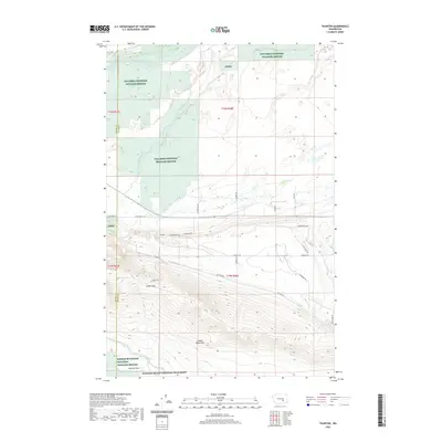
2020 Map of Taunton
USGS Topo · Published 2020About this map
Saddle Mountains dominate the southern portion of this landscape, rising sharply above the Wahluke Slope and the irrigation infrastructure of the Wahluke Branch Canal. The settlement of Taunton sits at the foot of these elevations, positioned near the crossing of Saddle Gap. This area serves as a significant ecological corridor, evidenced by the extensive acreage of the Columbia National Wildlife Refuge and the Saddle Mountain National Wildlife Refuge, which protect the riparian zones along Lower Crab Creek. The map reflects a desert environment transformed by large-scale water management, where the contrast between the protected riverine habitats and the engineered canal system defines the local geography. The inclusion of the Hanford Reach National Monument further emphasizes the regional focus on conservation and historical land use along the border of Grant and Adams counties.
Find a feature on this map
30 named features on this map. Tap any name to fly to it.
Don’t see what you’re looking for? This feature index may not catch every label — zoom into the map to look around manually.
Map Details
Editions of this 2020 Taunton Map
This is the sole edition of this map. No revisions or reprints were ever made.
Other maps of this area
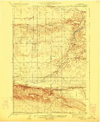
1923 · Corfu
USGS Topo · 1:62,500
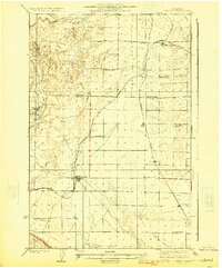
1924 · Othello
USGS Topo · 1:62,500
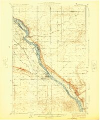
1924 · Hanford
USGS Topo · 1:62,500
1925 · Scooteney Lake
USGS Topo · 1:62,500
1951 · Scooteney Lake
USGS Topo · 1:62,500
1951 · Corfu
USGS Topo · 1:62,500
1951 · Hanford
USGS Topo · 1:62,500
1953 · Walla Walla
USGS Topo · 1:250,000
1954 · Soda Lake
USGS Topo · 1:24,000
1954 · Othello
USGS Topo · 1:24,000