
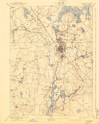
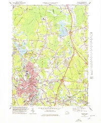
1918 Map of Taunton
USGS Topo · Published 1921About this map
Taunton and its surrounding rail corridors form the heart of this 1918 tactical survey, conducted by the Corps of Engineers. The landscape is defined by the heavy presence of the Old Colony Railroad, which branches toward Norton and Mansfield, and the Taunton and New Bedford Railroad heading south toward the coast. These transit lines supported established industrial sites like the Copper Works and the Whittenton district.
Find a feature on this map
105 named features on this map. Tap any name to fly to it.
Don’t see what you’re looking for? This feature index may not catch every label — zoom into the map to look around manually.
Map Details
Editions of this 1918 Taunton Map
This is the sole edition of this map. No revisions or reprints were ever made.
Historical Maps of Weir Village Through Time
12 maps found

1885 Taunton
Bristol County, MA

1888 Taunton
Bristol County, MA
1893 Taunton
Bristol County, MA
1918 Taunton
Bristol County, MA
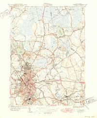
1944 Taunton
Bristol County, MA
1949 Taunton
Bristol County, MA
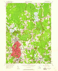
1962 Taunton
Bristol County, MA

1977 Taunton
Bristol County, MA
1978 Taunton
Bristol County, MA

1979 Taunton
Bristol County, MA

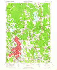
1987 Taunton
Bristol County, MA
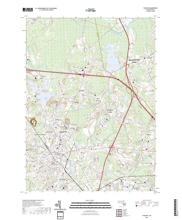
2024 Taunton
Bristol County, MA