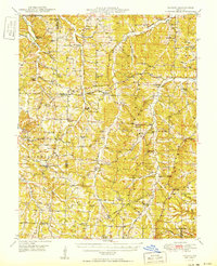
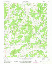
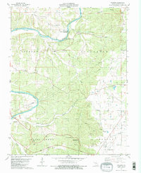
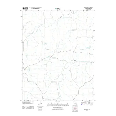
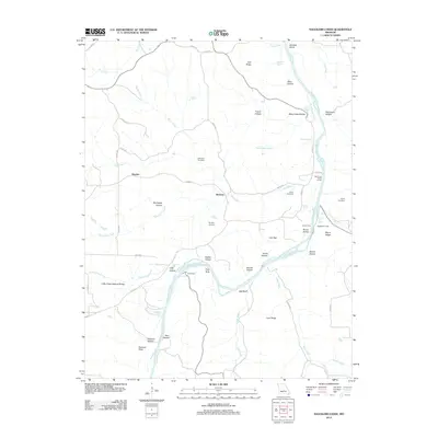
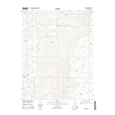
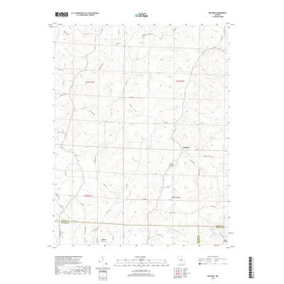
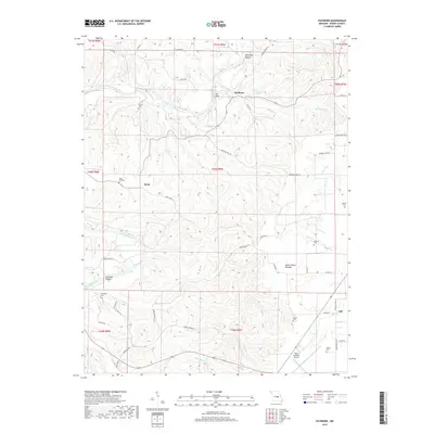
1950 Map of Tavern
USGS Topo · Published 1950About this map
Tavern Creek and the Maries River define this Mid-Missouri landscape where the boundaries of Miller, Maries, and Pulaski counties meet. The late 1940s topography reveals a deeply rural network of ridge-top settlements and creek-bottom homesteads, with the community of Tavern and the crossroads at Brinktown serving as local hubs. This era shows a high density of one-room schoolhouses still serving the valley farms, such as Alder Springs Sch and Prosperity Sch, reflecting a social structure before widespread district consolidation. Genealogists can find numerous family-named landmarks and resting places, including the Jim-Math Lawson Cem and Grisman Cem. The terrain of Richwoods and Dry Creek is marked by a complex system of drainage branches like Hatton Branch and Shelton Branch, illustrating the traditional Ozark upland settlement pattern where roads and churches like Mt Gilead Ch follow the high ground between winding waterways.
Find a feature on this map
71 named features on this map. Tap any name to fly to it.
Don’t see what you’re looking for? This feature index may not catch every label — zoom into the map to look around manually.
Map Details
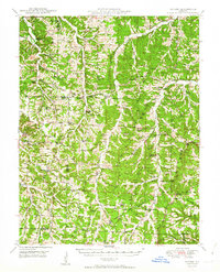
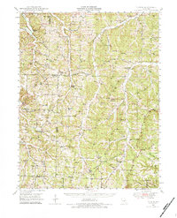
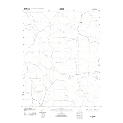
Editions of this 1950 Tavern Map
3 editions found
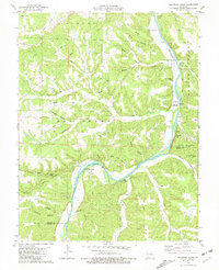
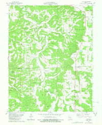
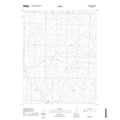
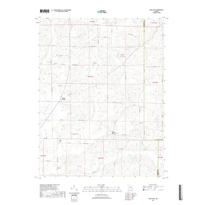
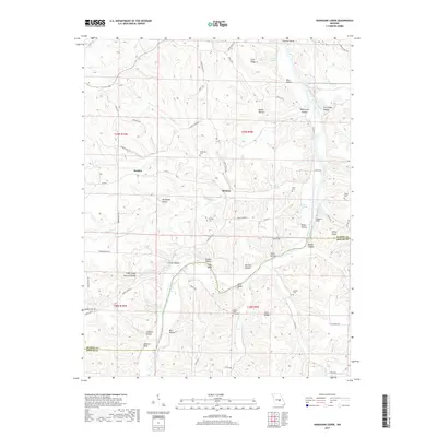
Historical Maps of Dixon Through Time
42 maps found
1948 Tavern
Maries County, MO
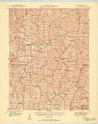
1950 Tavern
Maries County, MO
1962 High Gate
Maries County, MO
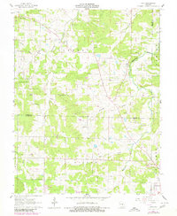
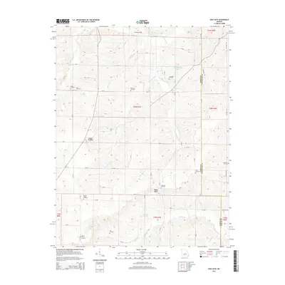
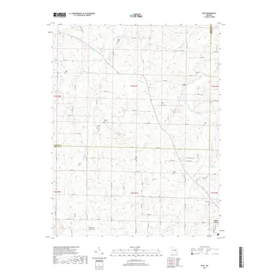
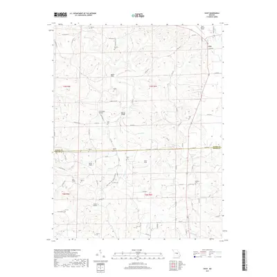
1962 Safe
Maries County, MO
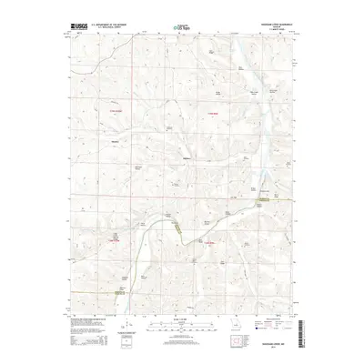
1980 Nagogami Lodge
Maries County, MO
1980 Vichy
Maries County, MO
1981 Paydown
Maries County, MO
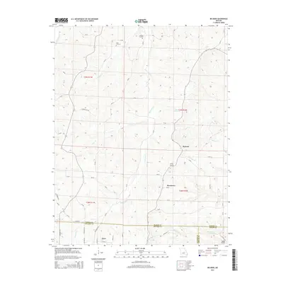
1987 Big Bend
Maries County, MO
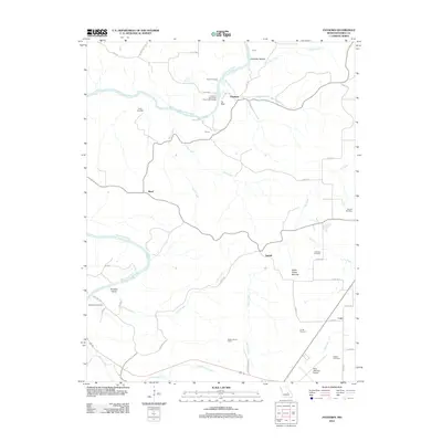
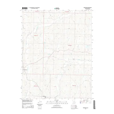
1987 Brinktown
Maries County, MO
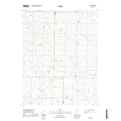
1987 Van Cleve
Maries County, MO
2011 Brinktown
Maries County, MO
2011 Van Cleve
Maries County, MO
2012 Big Bend
Maries County, MO
2012 High Gate
Maries County, MO
2012 Nagogami Lodge
Maries County, MO
2012 Paydown
Maries County, MO
2012 Safe
Maries County, MO
2012 Vichy
Maries County, MO
2015 Big Bend
Maries County, MO
2015 Brinktown
Maries County, MO
2015 High Gate
Maries County, MO
2015 Nagogami Lodge
Maries County, MO
2015 Paydown
Maries County, MO
2015 Safe
Maries County, MO
2015 Van Cleve
Maries County, MO
2015 Vichy
Maries County, MO
2017 Big Bend
Maries County, MO
2017 Brinktown
Maries County, MO
2017 High Gate
Maries County, MO
2017 Nagogami Lodge
Maries County, MO
2017 Paydown
Maries County, MO
2017 Safe
Maries County, MO
2017 Van Cleve
Maries County, MO
2017 Vichy
Maries County, MO
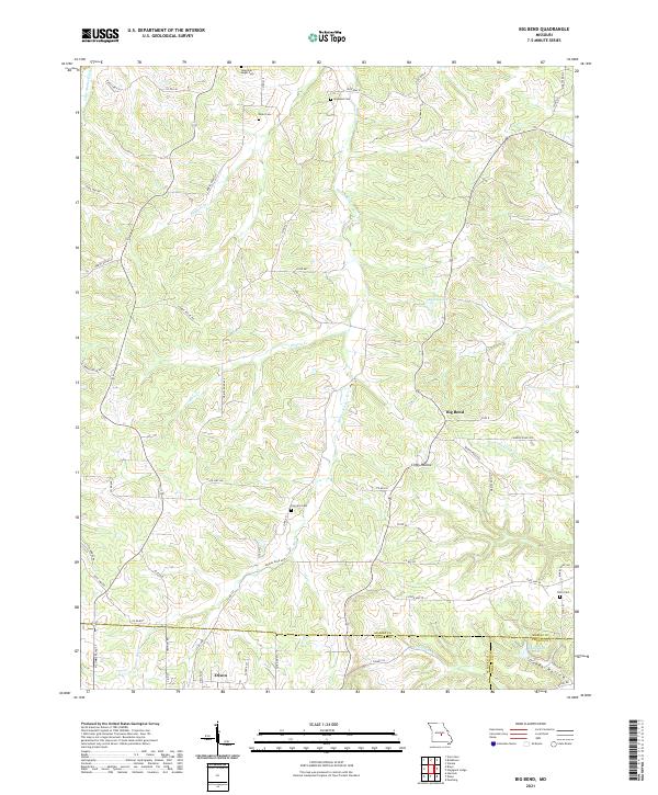
2021 Big Bend
Maries County, MO
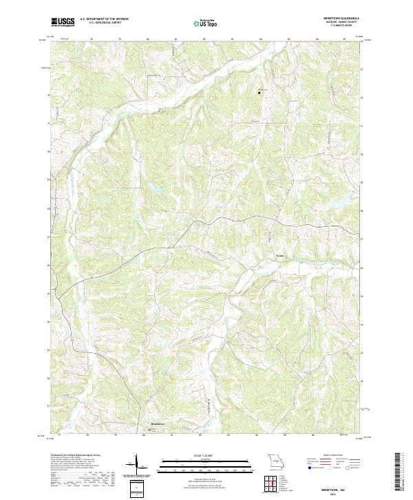
2021 Brinktown
Maries County, MO
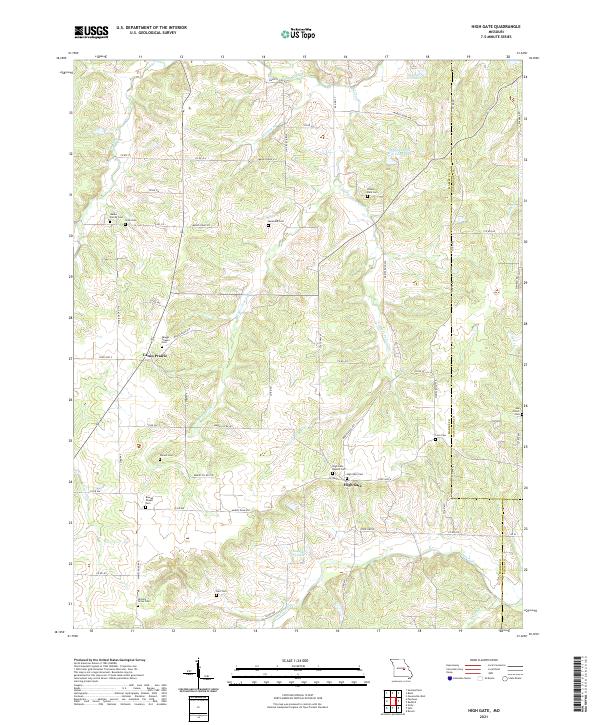
2021 High Gate
Maries County, MO
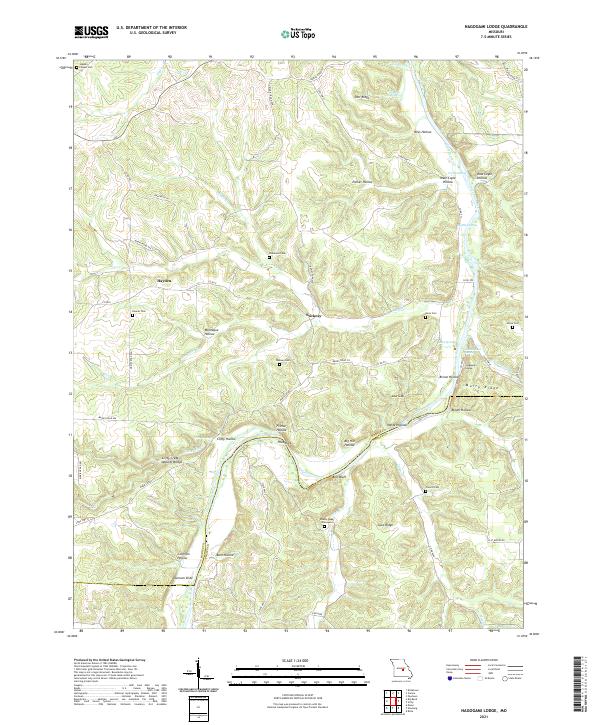
2021 Nagogami Lodge
Maries County, MO
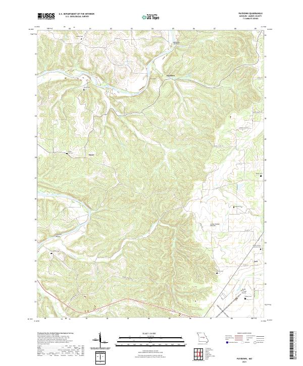
2021 Paydown
Maries County, MO
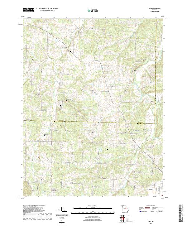
2021 Safe
Maries County, MO
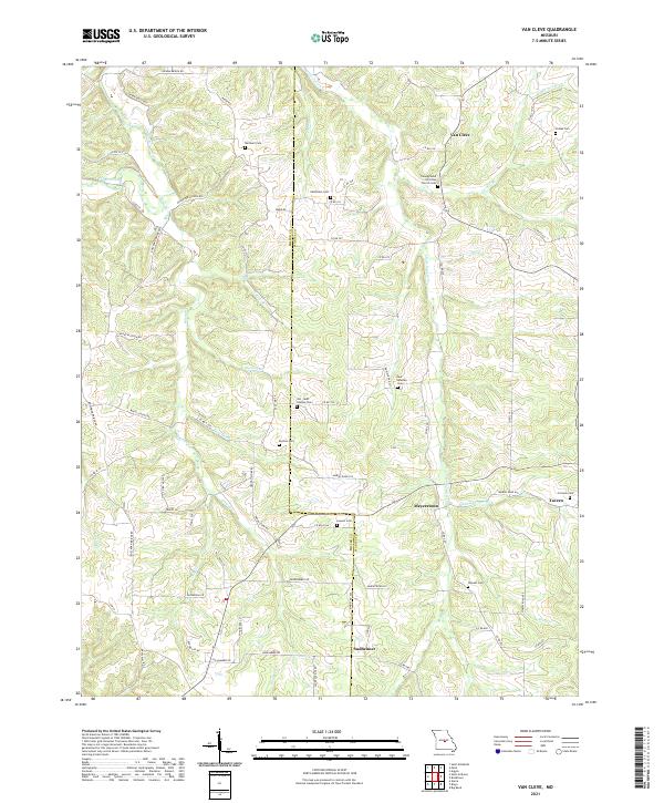
2021 Van Cleve
Maries County, MO
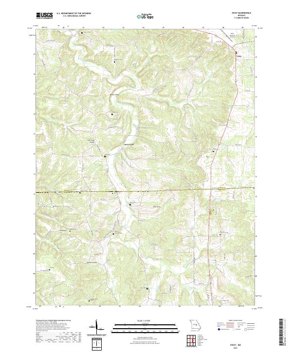
2021 Vichy
Maries County, MO