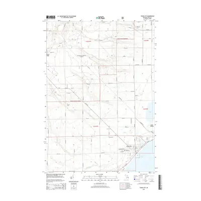
1959 Map of Tawas City
USGS Topo · Published 1979About this map
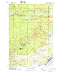
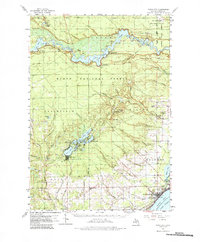
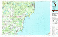
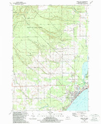
The Au Sable River corridor defines this landscape, where a series of impoundments including Loud Pond, Five Channels Pond, and Cooke Pond support a legacy of early 20th-century hydroelectric power. In the north, the Wurtsmith Air Force Range and Alpeña State Forest occupy the highlands above the river, while the Lumbermens Memorial Monument stands as a tribute to the region's logging heritage. To the south, the coastal settlements of Tawas City and East Tawas are situated along the shores of Tawas Bay, connected by the Detroit and Mackinac RR. The interior townships of Wilber and Plainfield reveal a rural pattern of development, punctuated by local landmarks like Wilber Ch and the Silver Creek Lookout Tower. This survey captures the transition from the industrial forestry era to a landscape managed for conservation and public utility.
Find a feature on this map
78 named features on this map. Tap any name to fly to it.
Don’t see what you’re looking for? This feature index may not catch every label — zoom into the map to look around manually.
Map Details
Editions of this 1959 Tawas City Map
4 editions found
Historical Maps of East Tawas Through Time
10 maps found
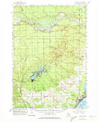
1954 Tawas City
Iosco County, MI

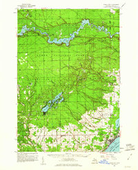
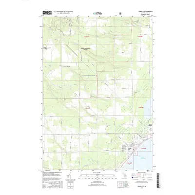
1958 Tawas City
Iosco County, MI
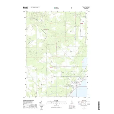
1959 Tawas City
Iosco County, MI
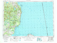
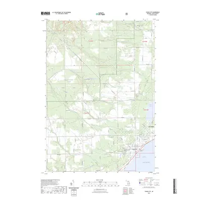
1984 Tawas City
Iosco County, MI
1989 Tawas City
Iosco County, MI
2012 Tawas City
Iosco County, MI
2014 Tawas City
Iosco County, MI
2017 Tawas City
Iosco County, MI
2019 Tawas City
Iosco County, MI
2023 Tawas City
Iosco County, MI