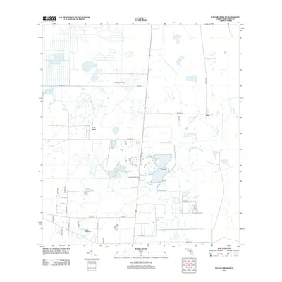
2012 Map of Taylor Creek NE
USGS Topo · Published 2012About this map
Eagle Island and White Hammock anchor this interior Florida landscape, characterized by the low-lying drainage basins of Taylor Creek and Gomez Creek. The 2012 topography shows a transition between traditional agricultural hammocks and modern dairy operations, notably around Mc Arthur Dairy Rd. The settlement pattern is sparse, with small community centers at Hilolo and the northern reaches of White Hammock defined by a rigid grid of local roads and tracks that navigate the wetland edges.
Find a feature on this map
28 named features on this map. Tap any name to fly to it.
Don’t see what you’re looking for? This feature index may not catch every label — zoom into the map to look around manually.
Map Details
Editions of this 2012 Taylor Creek NE Map
This is the sole edition of this map. No revisions or reprints were ever made.
Other maps of this area

1953 · Taylor Creek NW
USGS Topo · 1:24,000

1953 · Fort Drum
USGS Topo · 1:24,000

1953 · Fort Drum SW
USGS Topo · 1:24,000

1953 · Fellsmere 4 SW
USGS Topo · 1:24,000

1953 · Taylor Creek SW
USGS Topo · 1:24,000

1953 · Okeechobee 1 SW
USGS Topo · 1:24,000

1953 · Taylor Creek SE
USGS Topo · 1:24,000

1953 · Taylor Creek NE
USGS Topo · 1:24,000

1953 · Okeechobee 1 NW
USGS Topo · 1:24,000

1956 · Fort Pierce
USGS Topo · 1:250,000