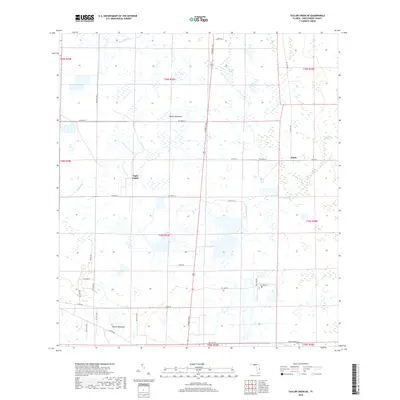
2018 Map of Taylor Creek NE
USGS Topo · Published 2018About this map
Eagle Island and the surrounding marshlands of northern Okeechobee County define this landscape of interconnected waterways and isolated hammocks. The map details a complex hydrologic network where Fort Drum Cr and Joe Gore Slough traverse the flatwoods, while Gomez Cr and Taylor Cr provide drainage through the southern reaches. The settlement pattern is sparse, concentrated at Hilolo and the two distinct areas labeled White Hammock, illustrating the region's reliance on slightly elevated ground for habitation.
Find a feature on this map
38 named features on this map. Tap any name to fly to it.
Don’t see what you’re looking for? This feature index may not catch every label — zoom into the map to look around manually.
Map Details
Editions of this 2018 Taylor Creek NE Map
This is the sole edition of this map. No revisions or reprints were ever made.
Other maps of this area

1953 · Taylor Creek NW
USGS Topo · 1:24,000

1953 · Fort Drum
USGS Topo · 1:24,000

1953 · Fort Drum SW
USGS Topo · 1:24,000

1953 · Fellsmere 4 SW
USGS Topo · 1:24,000

1953 · Taylor Creek SW
USGS Topo · 1:24,000

1953 · Okeechobee 1 SW
USGS Topo · 1:24,000

1953 · Taylor Creek SE
USGS Topo · 1:24,000

1953 · Taylor Creek NE
USGS Topo · 1:24,000

1953 · Okeechobee 1 NW
USGS Topo · 1:24,000

1956 · Fort Pierce
USGS Topo · 1:250,000