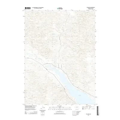
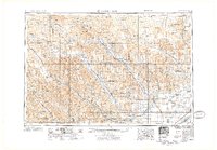
2014 Map of Taylor NE
USGS Topo · Published 2014About this map
Calamus Reservoir dominates the southeastern portion of this terrain, where the Calamus River was impounded to manage water resources in the Nebraska Sandhills. The landscape is defined by the unique undulating topography characteristic of this region, with numerous small depressions and drainage patterns feeding into the main valley. To the north, Morgan Reservoir Number 1 and Bald Lake punctuate the arid landscape, while Gracie Cr meanders southward toward the larger reservoir. A sparse network of local roads, including Gracie Creek Ave and S Lake Rd, provides access to this rural expanse. This map reflects a contemporary snapshot of a ranching and recreation-focused environment, where natural hydrology and modern water management intersect along the edges of the reservoir and the river valley.
Find a feature on this map
10 named features on this map. Tap any name to fly to it.
Don’t see what you’re looking for? This feature index may not catch every label — zoom into the map to look around manually.
Map Details
Editions of this 2014 Taylor NE Map
This is the sole edition of this map. No revisions or reprints were ever made.
Other maps of this area
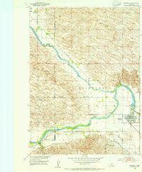
1952 · Burwell
USGS Topo · 1:24,000
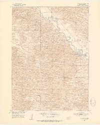
1952 · Taylor NW
USGS Topo · 1:24,000
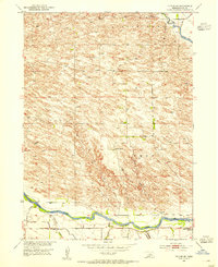
1952 · Taylor SE
USGS Topo · 1:24,000
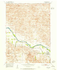
1952 · Taylor
USGS Topo · 1:24,000
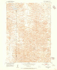
1952 · Burwell NW
USGS Topo · 1:24,000
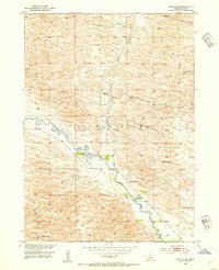
1952 · Taylor NE
USGS Topo · 1:24,000
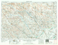
1955 · Broken Bow
USGS Topo · 1:250,000

1955 · O'Neill
USGS Topo · 1:250,000
1956 · Broken Bow
USGS Topo · 1:250,000

1959 · O'Neill
USGS Topo · 1:250,000