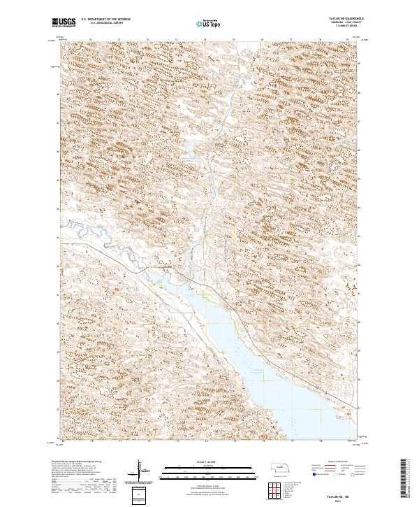
2021 Map of Taylor NE
USGS Topo · Published 2021About this map
Calamus Reservoir dominates the southern landscape of Loup County, where the reservoir's broad waters meet the winding course of the Calamus River. The topography is defined by the rolling sandhills of central Nebraska, a landscape etched with seasonal basins and isolated water bodies like Bald Lake and Carson Lake. This 2021 survey illustrates the modern management of these Nebraska waterways, including the Morgan Reservoir Number 1 and the development of local access points such as Taylor NW and Taylor SE.
Find a feature on this map
21 named features on this map. Tap any name to fly to it.
Don’t see what you’re looking for? This feature index may not catch every label — zoom into the map to look around manually.
Map Details
Editions of this 2021 Taylor NE Map
This is the sole edition of this map. No revisions or reprints were ever made.
Other maps of this area

1952 · Burwell
USGS Topo · 1:24,000

1952 · Taylor NW
USGS Topo · 1:24,000

1952 · Taylor SE
USGS Topo · 1:24,000

1952 · Taylor
USGS Topo · 1:24,000

1952 · Burwell NW
USGS Topo · 1:24,000

1952 · Taylor NE
USGS Topo · 1:24,000

1955 · Broken Bow
USGS Topo · 1:250,000

1955 · O'Neill
USGS Topo · 1:250,000

1956 · Broken Bow
USGS Topo · 1:250,000

1959 · O'Neill
USGS Topo · 1:250,000