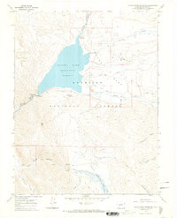
1967 Map of Taylor Park Reservoir
USGS Topo · Published 1971About this map
Taylor Reservoir dominates this high-altitude landscape within the Gunnison National Forest, shown here during the late 1960s. The map captures the specialized land use of the era, from the recreational facilities at Rivers End Campground and Lakeview Campground to the seasonal agricultural operations at the Union Park Cow Camp. The transition between the open expanse of Taylor Park and the enclosed topography of Union Park is punctuated by significant hydrological and transport features, including the Taylor River headwaters and a remote Landing Strip. Evidence of resource extraction persists in the southern reaches, with a Mine and various prospects located near Bertha Gulch, while the Taylor Park Ranger Station serves as the administrative anchor for this mountain basin.
Find a feature on this map
31 named features on this map. Tap any name to fly to it.
Don’t see what you’re looking for? This feature index may not catch every label — zoom into the map to look around manually.
Map Details
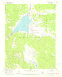
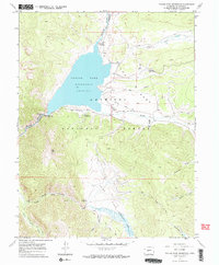
Editions of this 1967 Taylor Park Reservoir Map
3 editions found
Other maps of this area
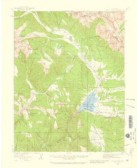
1934 · Taylor Park
USGS Topo · 1:62,500
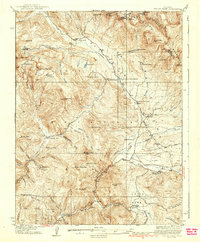
1937 · Taylor Park
USGS Topo · 1:62,500
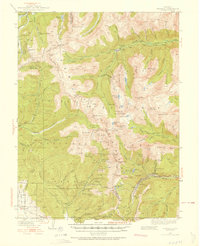
1940 · Garfield
USGS Topo · 1:62,500
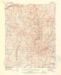
1941 · Pitkin
USGS Topo · 1:62,500
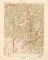
1945 · Pitkin
USGS Topo · 1:62,500
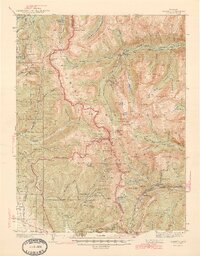
1945 · Garfield
USGS Topo · 1:62,500
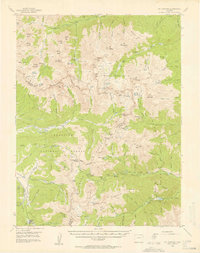
1955 · Mount Harvard
USGS Topo · 1:62,500

1956 · Montrose
USGS Topo · 1:250,000
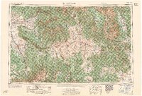
1959 · Montrose
USGS Topo · 1:250,000
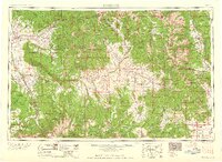
1960 · Montrose
USGS Topo · 1:250,000