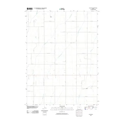
2010 Map of Taylor
USGS Topo · Published 2010About this map
York Township Cemetery anchors the northern reaches of this Iowa landscape, providing a primary point of reference for genealogists and local historians tracing families in this part of Pottawattamie County. The terrain is defined by a dense network of waterways including Keg Creek, Little Silver Creek, and Middle Silver Creek, which drain the agricultural land into Silver Creek to the southeast. The small community of Taylor sits in the southeastern corner of the quadrangle, serving as a hub for the surrounding rural sections. A rigid grid of section-line roads, such as Lombardy Rd, Idlewood Rd, and Dogwood Rd, overlays the undulating prairie topography, illustrating the enduring influence of the Public Land Survey System on the modern transportation network and field patterns of the region.
Find a feature on this map
25 named features on this map. Tap any name to fly to it.
Don’t see what you’re looking for? This feature index may not catch every label — zoom into the map to look around manually.
Map Details
Editions of this 2010 Taylor Map
This is the sole edition of this map. No revisions or reprints were ever made.
Other maps of this area

1954 · Omaha
USGS Topo · 1:250,000

1956 · Underwood
USGS Topo · 1:24,000

1956 · Mineola
USGS Topo · 1:24,000

1956 · Neola
USGS Topo · 1:24,000

1956 · Treynor
USGS Topo · 1:24,000

1956 · Mc Clelland
USGS Topo · 1:24,000

1957 · Omaha
USGS Topo · 1:250,000

1957 · Taylor
USGS Topo · 1:24,000

1958 · Omaha
USGS Topo · 1:250,000

1963 · Avoca NW
USGS Topo · 1:24,000