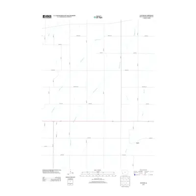
2013 Map of Taylor
USGS Topo · Published 2013About this map
Silver Creek and its many branches define this rural landscape in eastern Pottawattamie County, cutting through a disciplined grid of agricultural section lines. The unincorporated community of Taylor sits south of the main east-west corridor, Highway 6, where the drainage of the Middle Silver Creek and Little Silver Creek systems converge. The map reflects a deeply rooted prairie farming infrastructure, where naming conventions for local routes such as Hickory Rd, Honeysuckle Rd, and Lombardy Rd suggest the plant life integrated into this managed terrain. This 2013 survey provides a contemporary view of these traditional drainage patterns and township roads before further modern development or land-use changes altered the quiet character of the area near Keg Creek.
Find a feature on this map
28 named features on this map. Tap any name to fly to it.
Don’t see what you’re looking for? This feature index may not catch every label — zoom into the map to look around manually.
Map Details
Editions of this 2013 Taylor Map
This is the sole edition of this map. No revisions or reprints were ever made.
Other maps of this area

1954 · Omaha
USGS Topo · 1:250,000
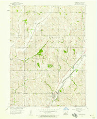
1956 · Underwood
USGS Topo · 1:24,000
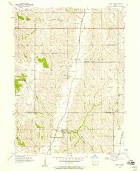
1956 · Mineola
USGS Topo · 1:24,000
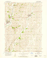
1956 · Neola
USGS Topo · 1:24,000
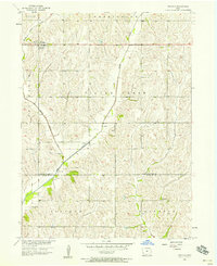
1956 · Treynor
USGS Topo · 1:24,000
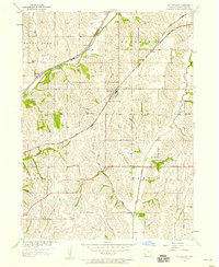
1956 · Mc Clelland
USGS Topo · 1:24,000

1957 · Omaha
USGS Topo · 1:250,000
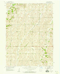
1957 · Taylor
USGS Topo · 1:24,000

1958 · Omaha
USGS Topo · 1:250,000
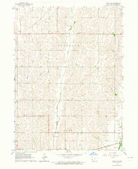
1963 · Avoca NW
USGS Topo · 1:24,000