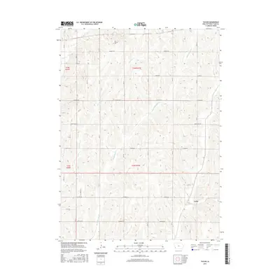
2015 Map of Taylor
USGS Topo · Published 2015About this map
The agrarian landscape of eastern Pottawattamie County is defined by the repetitive, north-south orientation of the local drainage system. Waterways including Keg Cr, Little Silver Cr, and Middle Silver Cr carve shallow valleys through the terrain, separated by high ridges that carry the rural road network. This pattern of land use is strictly governed by the Public Land Survey System, as seen in the precise grid of roads such as Lombardy Rd and Idlewood Rd that follow section lines within Township 76 North, Range 41 West. The small settlement of Taylor serves as a local point of interest in the southeastern portion of the map. For those researching family history in the area, the York Township Cem is a significant landmark located near the northern boundary, preserved amidst the surrounding fields.
Find a feature on this map
31 named features on this map. Tap any name to fly to it.
Don’t see what you’re looking for? This feature index may not catch every label — zoom into the map to look around manually.
Map Details
Editions of this 2015 Taylor Map
This is the sole edition of this map. No revisions or reprints were ever made.
Other maps of this area

1954 · Omaha
USGS Topo · 1:250,000
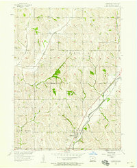
1956 · Underwood
USGS Topo · 1:24,000
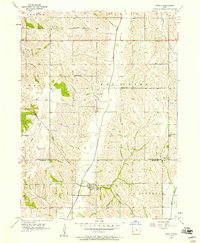
1956 · Mineola
USGS Topo · 1:24,000
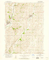
1956 · Neola
USGS Topo · 1:24,000
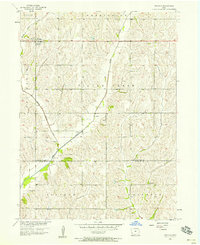
1956 · Treynor
USGS Topo · 1:24,000
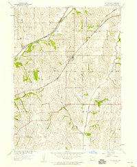
1956 · Mc Clelland
USGS Topo · 1:24,000

1957 · Omaha
USGS Topo · 1:250,000
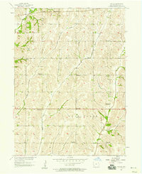
1957 · Taylor
USGS Topo · 1:24,000

1958 · Omaha
USGS Topo · 1:250,000
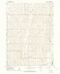
1963 · Avoca NW
USGS Topo · 1:24,000