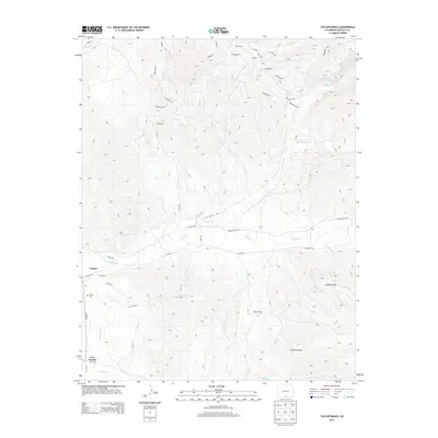
2013 Map of Taylor Ranch
USGS Topo · Published 2013About this map
The settlement of Chama and the neighboring Chama Cem anchor this 2013 survey of the southern Sangre de Cristo foothills. The landscape is defined by a sophisticated network of high-altitude water management, visible through the Cerro Ditch Number 1 and the Sanchez Canal, which divert water from the Culebra Cr to support the surrounding agricultural basins. This area of Costilla County retains a distinct land-grant character, with the Taylor Ranch and Los Fuertes marking significant local landmarks within the complex topography of Cuchilla Alta and El Puertesito. Higher elevations to the north and east are navigated via a grid of specialized routes like Whiskey Pass Rd and numerous county roads that follow the natural drainage of El Poso Cr and El Pedregoso Cr.
Find a feature on this map
47 named features on this map. Tap any name to fly to it.
Don’t see what you’re looking for? This feature index may not catch every label — zoom into the map to look around manually.
Map Details
Editions of this 2013 Taylor Ranch Map
This is the sole edition of this map. No revisions or reprints were ever made.
Other maps of this area

1954 · Trinidad
USGS Topo · 1:250,000

1955 · Trinidad
USGS Topo · 1:250,000

1958 · Trinidad
USGS Topo · 1:250,000
1959 · Trinidad
USGS Topo · 1:250,000
1967 · San Luis
USGS Topo · 1:24,000
1967 · La Valley
USGS Topo · 1:24,000
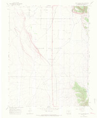
1967 · Fort Garland SW
USGS Topo · 1:24,000
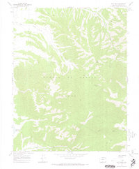
1967 · Ojito Peak
USGS Topo · 1:24,000
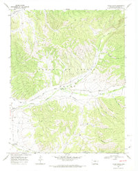
1967 · Taylor Ranch
USGS Topo · 1:24,000
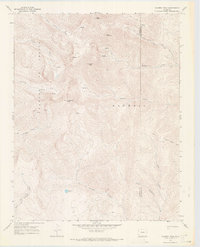
1967 · Culebra Peak
USGS Topo · 1:24,000