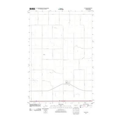
2011 Map of Taylor
USGS Topo · Published 2011About this map
The town of Taylor serves as the primary hub of this eastern Stark County landscape, situated along a major east-west transportation corridor. The settlement pattern is defined by the strict orthogonal grid of the Public Land Survey System, with numbered roads like 36th St SW and 94th Ave SW dividing the terrain into regular sections. Local heritage is anchored at Immanuel Cemetery, a notable landmark positioned north of the main township. The physical geography is marked by subtle drainages, most notably Beaver Creek and Government Creek, which cut across the prairie south of the town. This 2011 record reflects a modern snapshot of rural North Dakota, where traditional agricultural land divisions persist alongside the infrastructure of the Interstate 94 corridor.
Find a feature on this map
25 named features on this map. Tap any name to fly to it.
Don’t see what you’re looking for? This feature index may not catch every label — zoom into the map to look around manually.
Map Details
Editions of this 2011 Taylor Map
This is the sole edition of this map. No revisions or reprints were ever made.
Other maps of this area

1953 · Dickinson
USGS Topo · 1:250,000

1953 · Watford City
USGS Topo · 1:250,000

1957 · Dickinson
USGS Topo · 1:250,000

1957 · Watford City
USGS Topo · 1:250,000

1967 · Watford City
USGS Topo · 1:250,000

1973 · Bratburg Butte
USGS Topo · 1:24,000

1973 · Marshall SE
USGS Topo · 1:24,000

1973 · Boyle
USGS Topo · 1:24,000

1973 · Taylor
USGS Topo · 1:24,000

1973 · Marshall SW
USGS Topo · 1:24,000