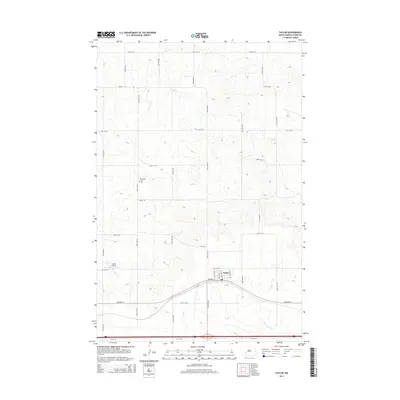
2014 Map of Taylor
USGS Topo · Published 2014About this map
Taylor serves as the central hub of this Stark County landscape, situated along the path of Highway 10. The town's grid is clearly defined by local thoroughfares including Maple Ave, Ertel Ave, and Chestnut Ave. Outside the immediate settlement, the terrain is shaped by the drainages of Beaver Creek and Government Creek, which cut through a vast network of section-line roads such as 35th St SW and 94th Ave SW. This 2014 survey documents the agricultural and transportation layout of the region, noting essential landmarks for local history including the Immanuel Cem and the Jurgens Airstrip to the west. The map illustrates a well-organized rural infrastructure where modern interstate travel and traditional township roads intersect.
Find a feature on this map
28 named features on this map. Tap any name to fly to it.
Don’t see what you’re looking for? This feature index may not catch every label — zoom into the map to look around manually.
Map Details
Editions of this 2014 Taylor Map
This is the sole edition of this map. No revisions or reprints were ever made.
Other maps of this area
1953 · Dickinson
USGS Topo · 1:250,000
1953 · Watford City
USGS Topo · 1:250,000
1957 · Dickinson
USGS Topo · 1:250,000
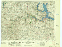
1957 · Watford City
USGS Topo · 1:250,000
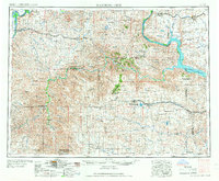
1967 · Watford City
USGS Topo · 1:250,000
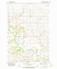
1973 · Bratburg Butte
USGS Topo · 1:24,000
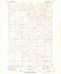
1973 · Marshall SE
USGS Topo · 1:24,000
1973 · Boyle
USGS Topo · 1:24,000
1973 · Taylor
USGS Topo · 1:24,000
1973 · Marshall SW
USGS Topo · 1:24,000