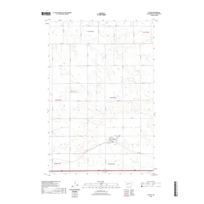
2020 Map of Taylor
USGS Topo · Published 2020About this map
The settlement of Taylor serves as the focal point for this Stark County landscape, organized by the rigid section lines of the Public Land Survey System. The town site is clearly defined by its residential grid, featuring streets such as Dagnault Ave, Chestnut Ave, and South St. These roads provide structure to the prairie environment, where intermittent watercourses like Beaver Cr and Government Cr navigate the subtle drainage patterns of the region.
Find a feature on this map
32 named features on this map. Tap any name to fly to it.
Don’t see what you’re looking for? This feature index may not catch every label — zoom into the map to look around manually.
Map Details
Editions of this 2020 Taylor Map
This is the sole edition of this map. No revisions or reprints were ever made.
Other maps of this area

1953 · Dickinson
USGS Topo · 1:250,000

1953 · Watford City
USGS Topo · 1:250,000

1957 · Dickinson
USGS Topo · 1:250,000

1957 · Watford City
USGS Topo · 1:250,000

1967 · Watford City
USGS Topo · 1:250,000

1973 · Bratburg Butte
USGS Topo · 1:24,000

1973 · Marshall SE
USGS Topo · 1:24,000

1973 · Boyle
USGS Topo · 1:24,000

1973 · Taylor
USGS Topo · 1:24,000

1973 · Marshall SW
USGS Topo · 1:24,000