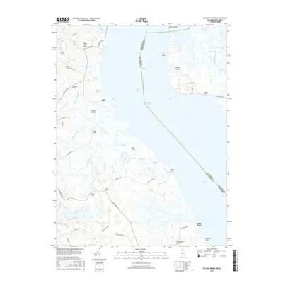
2016 Map of Taylors Bridge
USGS Topo · Published 2016About this map
Taylors Bridge serves as a central landmark for this coastal landscape where the Delaware River meets Delaware Bay. The intricate network of tidal waterways, including Blackbird Creek and the Appoquinimink River, highlights the low-lying nature of the Delmarva Peninsula. This 2016 survey documents a terrain defined by historical drainage efforts, evidenced by numerous man-made channels like The Big Ditch, Peach House Ditch, and Rays Ditch. Small settlements and family-named localities such as Pools Bottom, Vance Neck, and Fennimore Bridge are situated among expansive wetlands like Cedar Swamp. Across the river, Artificial Island and Stony Point mark the New Jersey shoreline. The map illustrates a region where maritime navigation and agricultural land reclamation have long dictated the human footprint, from the Baker Range shipping lanes to the remote river access at Collins Beach.
Find a feature on this map
66 named features on this map. Tap any name to fly to it.
Don’t see what you’re looking for? This feature index may not catch every label — zoom into the map to look around manually.
Map Details
Editions of this 2016 Taylors Bridge Map
This is the sole edition of this map. No revisions or reprints were ever made.
Other maps of this area

1890 · Salem
USGS Topo · 1:62,500

1890 · Bay Side
USGS Topo · 1:62,500

1894 · Bay Side
USGS Topo · 1:62,500

1898 · Salem
USGS Topo · 1:62,500

1899 · Vineland
USGS Topo · 1:125,000

1899 · Dover
USGS Topo · 1:125,000

1901 · Camden
USGS Topo · 1:125,000

1904 · Wilmington
USGS Topo · 1:62,500

1906 · Dover
USGS Topo · 1:125,000

1906 · Wilmington
USGS Topo · 1:62,500