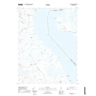
2019 Map of Taylors Bridge
USGS Topo · Published 2019About this map
Taylors Bridge sits at the heart of this coastal landscape, where the agricultural uplands of the Delmarva Peninsula meet the complex wetlands of the Delaware River estuary. The map reveals a land defined by water and drainage, with intricate networks like Peach-House Ditch, White Oak Ditch, and Rays Ditch cutting through the Cedar Swamp. These man-made channels highlight the long history of land management and marsh reclamation in this part of New Castle County and Salem County.
Find a feature on this map
63 named features on this map. Tap any name to fly to it.
Don’t see what you’re looking for? This feature index may not catch every label — zoom into the map to look around manually.
Map Details
Editions of this 2019 Taylors Bridge Map
This is the sole edition of this map. No revisions or reprints were ever made.
Other maps of this area

1890 · Salem
USGS Topo · 1:62,500

1890 · Bay Side
USGS Topo · 1:62,500

1894 · Bay Side
USGS Topo · 1:62,500

1898 · Salem
USGS Topo · 1:62,500

1899 · Vineland
USGS Topo · 1:125,000

1899 · Dover
USGS Topo · 1:125,000

1901 · Camden
USGS Topo · 1:125,000

1904 · Wilmington
USGS Topo · 1:62,500

1906 · Dover
USGS Topo · 1:125,000

1906 · Wilmington
USGS Topo · 1:62,500