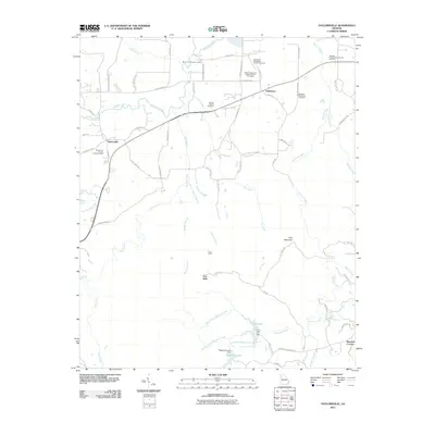
2011 Map of Taylorsville
USGS Topo · Published 2011About this map
Taylorsville and Stilesboro anchor this rural landscape in Bartow County, where a complex network of waterways like Euharlee Creek and Dry Creek shape the terrain. The area is notable for its high concentration of family and denominational burial grounds, including the Sproull Family Cemetery and the Stidham-Henderson Cemetery, which offer significant genealogical value.
Find a feature on this map
70 named features on this map. Tap any name to fly to it.
Don’t see what you’re looking for? This feature index may not catch every label — zoom into the map to look around manually.
Map Details
Editions of this 2011 Taylorsville Map
This is the sole edition of this map. No revisions or reprints were ever made.
Other maps of this area

1886 · Rome
USGS Topo · 1:125,000

1889 · Tallapoosa
USGS Topo · 1:125,000

1890 · Cartersville
USGS Topo · 1:125,000

1891 · Marietta
USGS Topo · 1:125,000

1891 · Cartersville
USGS Topo · 1:125,000

1892 · Tallapoosa
USGS Topo · 1:125,000

1895 · Marietta
USGS Topo · 1:125,000

1896 · Cartersville
USGS Topo · 1:125,000

1897 · Marietta
USGS Topo · 1:125,000

1897 · Tallapoosa
USGS Topo · 1:125,000