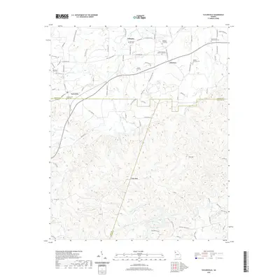
2020 Map of Taylorsville
USGS Topo · Published 2020About this map
Euharlee Creek and its many tributaries, including Jones Br and Dry Creek, define the northern drainage patterns of this Bartow County landscape. This 2020 record of the region shows the historic settlements of Euharlee, Stilesboro, and Taylorsville as they sit at the junction of modern road networks and traditional creek-side farmland. To the south, the topography shifts into the rising elevation of Pine Mtn, where the headwaters of Pegamore Cr and Raccoon Cr originate.
Find a feature on this map
97 named features on this map. Tap any name to fly to it.
Don’t see what you’re looking for? This feature index may not catch every label — zoom into the map to look around manually.
Map Details
Editions of this 2020 Taylorsville Map
This is the sole edition of this map. No revisions or reprints were ever made.
Other maps of this area

1886 · Rome
USGS Topo · 1:125,000

1889 · Tallapoosa
USGS Topo · 1:125,000

1890 · Cartersville
USGS Topo · 1:125,000

1891 · Marietta
USGS Topo · 1:125,000

1891 · Cartersville
USGS Topo · 1:125,000

1892 · Tallapoosa
USGS Topo · 1:125,000

1895 · Marietta
USGS Topo · 1:125,000

1896 · Cartersville
USGS Topo · 1:125,000

1897 · Marietta
USGS Topo · 1:125,000

1897 · Tallapoosa
USGS Topo · 1:125,000