Loading...
Loading map...2024 Map of Taylorsville
USGS Topo · Published 2024About this map
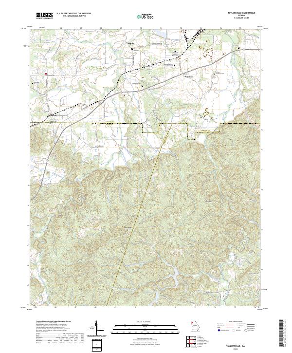
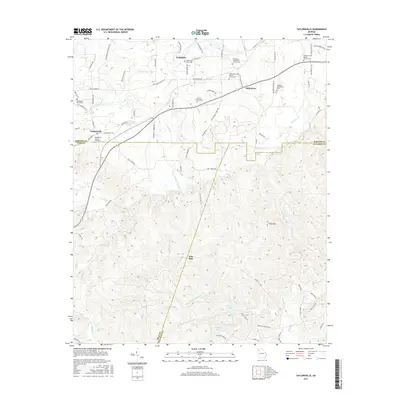
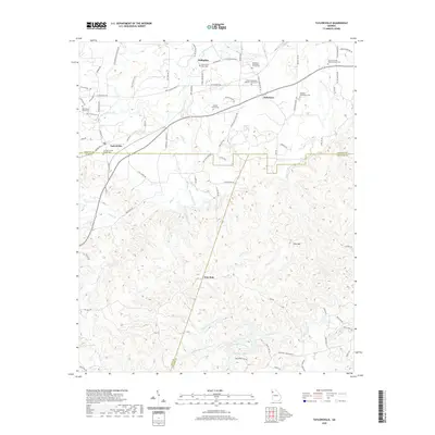
Taylorsville and Stilesboro serve as the primary hubs in this western Georgia landscape, where the confluence of several county boundaries—Bartow, Polk, and Paulding—shapes the local geography. The area is defined by a dense network of creeks, including Euharlee Creek and Hills Creek, which weave through a terrain marked by the prominence of Pine Mountain to the south.
Find a feature on this map
91 named features on this map. Tap any name to fly to it.
Don’t see what you’re looking for? This feature index may not catch every label — zoom into the map to look around manually.
Map Details
Date Portrayed2024
Date Published2024
PublisherU.S. Geological Survey
Map TypeTopographic
Scale1:24,000
Physical Dimensions24 x 29 inches
Editions of this 2024 Taylorsville Map
This is the sole edition of this map. No revisions or reprints were ever made.
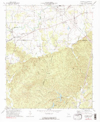
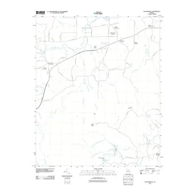
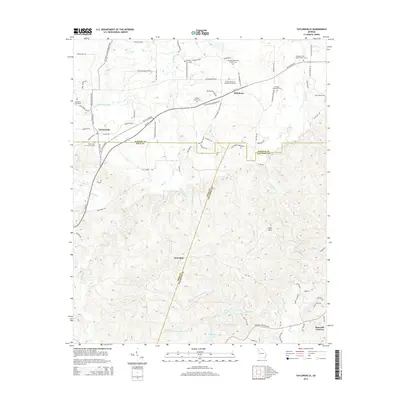
Historical Maps of Euharlee Through Time
6 maps found
Featured Locations
Source Details
SourceU.S. Geological Survey
CopyrightPublic Domain