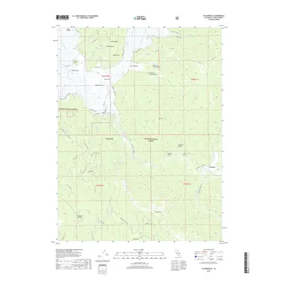
2018 Map of Taylorsville
USGS Topo · Published 2018About this map
Indian Valley and the Genesee Valley form the heart of this Plumas County landscape, where agriculture and forestry meet in the Plumas National Forest. The settlement of Taylorsville sits at the confluence of Indian Creek and Taylors Cr, serving as a historic hub for the surrounding ranchlands. The map reveals a network of old ranch roads like Viacava Ranch Rd and Johnson Ranch Rd, which branch out toward the rising slopes of Keddie Ridge.
Find a feature on this map
59 named features on this map. Tap any name to fly to it.
Don’t see what you’re looking for? This feature index may not catch every label — zoom into the map to look around manually.
Map Details
Editions of this 2018 Taylorsville Map
This is the sole edition of this map. No revisions or reprints were ever made.
Other maps of this area

1886 · Honey Lake
USGS Topo · 1:250,000

1891 · Downieville
USGS Topo · 1:125,000

1891 · Honey Lake
USGS Topo · 1:250,000

1893 · Honey Lake
USGS Topo · 1:250,000

1893 · Downieville
USGS Topo · 1:125,000

1895 · Downieville
USGS Topo · 1:125,000

1896 · Downieville
USGS Topo · 1:125,000

1897 · Downieville
USGS Topo · 1:125,000

1937 · Blairsden
USGS Topo · 1:48,000

1943 · Blairsden
USGS Topo · 1:62,500