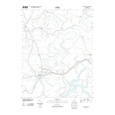
2010 Map of Taylorsville
USGS Topo · Published 2010About this map
Taylorsville sits at the confluence of several significant waterways, including the Salt River and Brashears Creek, serving as a focal point for this Spencer County landscape. The area is defined by its dendritic drainage patterns, with numerous named runs and creeks like Snake Run, Beech Creek, and Guist Creek carving through the terrain near prominent elevations such as Anderson Hill and Blacks Hill. These watercourses historically influenced settlement patterns, connecting small communities like Normandy, Rivals, and Yoder through a network of winding valley roads.
Find a feature on this map
61 named features on this map. Tap any name to fly to it.
Don’t see what you’re looking for? This feature index may not catch every label — zoom into the map to look around manually.
Map Details
Editions of this 2010 Taylorsville Map
This is the sole edition of this map. No revisions or reprints were ever made.
Other maps of this area

1923 · Waddy
USGS Topo · 1:48,000

1925 · Mount Eden
USGS Topo · 1:48,000

1927 · Mount Eden
USGS Topo · 1:62,500

1929 · Taylorsville
USGS Topo · 1:62,500

1951 · Fisherville
USGS Topo · 1:24,000

1951 · Waterford
USGS Topo · 1:24,000

1952 · Chaplin
USGS Topo · 1:24,000

1953 · Bloomfield
USGS Topo · 1:24,000

1953 · Fairfield
USGS Topo · 1:24,000

1954 · Taylorsville
USGS Topo · 1:24,000