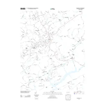
2013 Map of Tazewell
USGS Topo · Published 2013About this map
Tazewell and New Tazewell anchor this landscape, where the ridges of the Appalachian Valley and Ridge province dictate the patterns of settlement and transport. The area is defined by long, linear features like Chestnut Ridge and Lone Mountain Ridge, which hem in numerous agricultural and residential hollows. The presence of Norris Lake to the south introduces a distinct recreational and hydrological character, evidenced by the Lone Mountain Dock.
Find a feature on this map
90 named features on this map. Tap any name to fly to it.
Don’t see what you’re looking for? This feature index may not catch every label — zoom into the map to look around manually.
Map Details
Editions of this 2013 Tazewell Map
This is the sole edition of this map. No revisions or reprints were ever made.
Other maps of this area

1883 · Morristown
USGS Topo · 1:125,000

1886 · Cumberland Gap
USGS Topo · 1:125,000

1887 · Jonesville
USGS Topo · 1:125,000

1888 · Cumberland Gap
USGS Topo · 1:125,000

1891 · Cumberland Gap
USGS Topo · 1:125,000

1891 · Jonesville
USGS Topo · 1:125,000

1893 · Morristown
USGS Topo · 1:125,000

1895 · Morristown
USGS Topo · 1:125,000

1897 · Maynardville
USGS Topo · 1:125,000

1900 · Maynardville
USGS Topo · 1:125,000