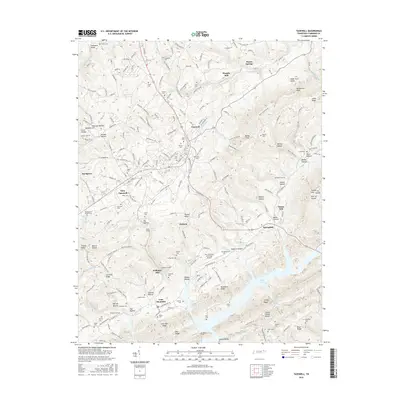
2016 Map of Tazewell
USGS Topo · Published 2016About this map
Tazewell and New Tazewell anchor this landscape where the valley floor meets the waters of Norris Lake. The map reveals a dense network of family history through dozens of burial grounds, including the Thompsons Chapel Cem and Janeway Cem, which are tucked into the folds of the Lone Mtn Ridge and Wallen Ridge. Industrial traces are evident in the historical milling sites like Williams Mill, Murphy Mill, and Hurst Mill, while unusual infrastructure such as the Greer Tunnel near Greer Lake indicates specialized water or transport management in the local terrain. The transition from agricultural valley to the complex shoreline of the reservoir creates a distinctive pattern of development, with the New Tazewell Municipal Airport occupying a rare flat stretch above the Sycamore Knobs.
Find a feature on this map
101 named features on this map. Tap any name to fly to it.
Don’t see what you’re looking for? This feature index may not catch every label — zoom into the map to look around manually.
Map Details
Editions of this 2016 Tazewell Map
This is the sole edition of this map. No revisions or reprints were ever made.
Other maps of this area

1883 · Morristown
USGS Topo · 1:125,000

1886 · Cumberland Gap
USGS Topo · 1:125,000

1887 · Jonesville
USGS Topo · 1:125,000

1888 · Cumberland Gap
USGS Topo · 1:125,000

1891 · Cumberland Gap
USGS Topo · 1:125,000

1891 · Jonesville
USGS Topo · 1:125,000

1893 · Morristown
USGS Topo · 1:125,000

1895 · Morristown
USGS Topo · 1:125,000

1897 · Maynardville
USGS Topo · 1:125,000

1900 · Maynardville
USGS Topo · 1:125,000