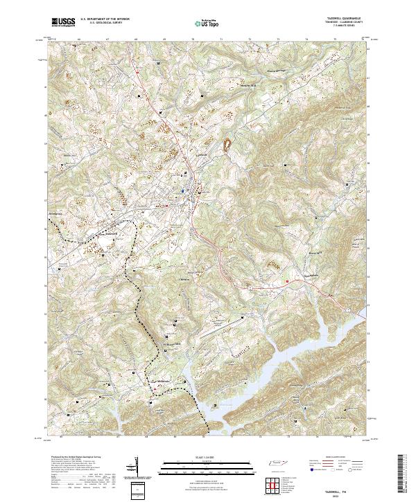
2022 Map of Tazewell
USGS Topo · Published 2022About this map
Tazewell and New Tazewell serve as the central hubs of this landscape, situated along the corridor of Old Hwy 25 E and S Broad St. The geography is defined by parallel ridges and valleys characteristic of the Appalachian region, including Wallens Ridge and the Caney Valley. This alignment has historically dictated the placement of settlements and transport routes, with long-standing family legacy reflected in the numerous burial grounds like Hoge Cem and Oakes Cem that dot the hillsides.
Find a feature on this map
82 named features on this map. Tap any name to fly to it.
Don’t see what you’re looking for? This feature index may not catch every label — zoom into the map to look around manually.
Map Details
Editions of this 2022 Tazewell Map
This is the sole edition of this map. No revisions or reprints were ever made.
Other maps of this area

1883 · Morristown
USGS Topo · 1:125,000

1886 · Cumberland Gap
USGS Topo · 1:125,000

1887 · Jonesville
USGS Topo · 1:125,000

1888 · Cumberland Gap
USGS Topo · 1:125,000

1891 · Cumberland Gap
USGS Topo · 1:125,000

1891 · Jonesville
USGS Topo · 1:125,000

1893 · Morristown
USGS Topo · 1:125,000

1895 · Morristown
USGS Topo · 1:125,000

1897 · Maynardville
USGS Topo · 1:125,000

1900 · Maynardville
USGS Topo · 1:125,000