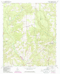
1971 Map of Tazewell North
USGS Topo · Published 1985About this map
Tazewell and the New Liberty Community anchor this rural landscape in the 1970s and 1980s, where the convergence of Marion, Taylor, and Schley counties meets a network of creeks and small crossroads. The geography is defined by the winding courses of Shoal Creek and Cedar Creek, which separate small agricultural clearings from the surrounding woodland. The settlement pattern is characterized by scattered country churches and community centers, including Trinity Ch, Mt Pisgah Ch, and Acorn Grove Ch, reflecting the deep-rooted social fabric of this West Georgia region.
Find a feature on this map
21 named features on this map. Tap any name to fly to it.
Don’t see what you’re looking for? This feature index may not catch every label — zoom into the map to look around manually.
Map Details
Editions of this 1971 Tazewell North Map
2 editions found
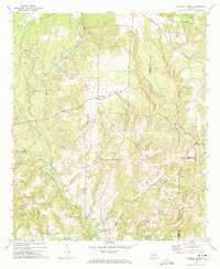
Other maps of this area

1907 · Talbotton
USGS Topo · 1:125,000

1950 · Geneva
USGS Topo · 1:24,000

1950 · Buena Vista NE
USGS Topo · 1:24,000

1950 · Buena Vista
USGS Topo · 1:24,000

1950 · Buena Vista
USGS Topo · 1:62,500

1950 · Talbotton
USGS Topo · 1:62,500

1955 · Buena Vista
USGS Topo · 1:24,000

1955 · Buena Vista NE
USGS Topo · 1:24,000
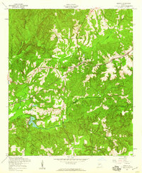
1955 · Geneva
USGS Topo · 1:24,000
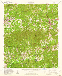
1955 · Talbotton
USGS Topo · 1:62,500