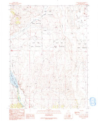
1990 Map of Te-Moak Well
USGS Topo · Published 1991About this map
The South Fork Indian Reservation and the rising waters of the South Fork Reservoir dominate this Elko County landscape as it appeared in the late 1980s. The map illustrates a transitional period for the Humboldt River corridor, where the creation of the South Fork State Recreation Area repurposed land once defined by agricultural water systems like the Ditch and Abandoned Ditch networks.
Find a feature on this map
25 named features on this map. Tap any name to fly to it.
Don’t see what you’re looking for? This feature index may not catch every label — zoom into the map to look around manually.
Map Details
Editions of this 1990 Te-Moak Well Map
This is the sole edition of this map. No revisions or reprints were ever made.
Other maps of this area

1952 · Dixie Flats
USGS Topo · 1:62,500

1955 · Elko
USGS Topo · 1:250,000

1957 · Elko West
USGS Topo · 1:24,000

1957 · Elko East
USGS Topo · 1:24,000

1958 · Elko
USGS Topo · 1:250,000

1962 · Elko
USGS Topo · 1:250,000

1962 · Boyd Reservoir
USGS Topo · 1:24,000
1962 · Elko East
USGS Topo · 1:24,000
1962 · Elko West
USGS Topo · 1:24,000

1962 · Lee
USGS Topo · 1:62,500