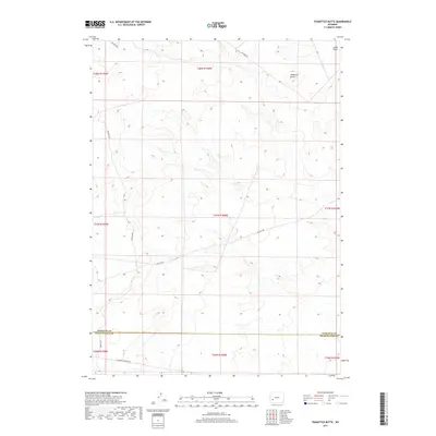
2017 Map of Teakettle Butte
USGS Topo · Published 2017About this map
Teakettle Butte rises as a prominent landmark in the high desert landscape of Sweetwater County, marking a terrain defined by subtle elevation changes and drainages like Jonah Gulch. The southern portion of this region is defined by the historic path of the California-Oregon Trl, tracing the footsteps of nineteenth-century emigrants across the sagebrush-covered plains. The map illustrates a contemporary layer of access through a network of Bureau of Land Management routes, including Blm Rd 4204 and Blm Rd 4207, which crisscross the Public Land Survey System sections. This 2017 survey documents the intersection of modern resource management roads with one of the most significant westward migration corridors in American history, situated along the border of Sublette and Sweetwater counties.
Find a feature on this map
16 named features on this map. Tap any name to fly to it.
Don’t see what you’re looking for? This feature index may not catch every label — zoom into the map to look around manually.
Map Details
Editions of this 2017 Teakettle Butte Map
This is the sole edition of this map. No revisions or reprints were ever made.
Other maps of this area

1955 · Lander
USGS Topo · 1:250,000

1958 · Lander
USGS Topo · 1:250,000

1961 · Lander
USGS Topo · 1:250,000
1968 · Twelvemile Knoll
USGS Topo · 1:24,000
1968 · Monument Butte NE
USGS Topo · 1:24,000
1968 · Fourmile Knoll
USGS Topo · 1:24,000
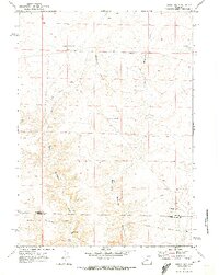
1969 · Sugar Loaf
USGS Topo · 1:24,000
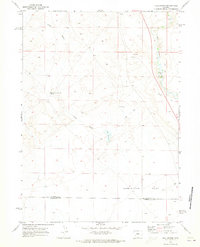
1969 · Juel Spring
USGS Topo · 1:24,000
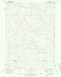
1969 · Teakettle Butte
USGS Topo · 1:24,000
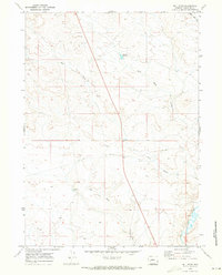
1969 · Bull Draw
USGS Topo · 1:24,000