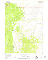
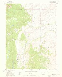
1955 Map of Teal Lake
USGS Topo · Published 1961About this map
Routt National Forest dominates the western half of this Jackson County landscape, where the Grizzly Helena Trail winds through high-country drainages. The 1955 field check reveals an environment defined by the complex water management required for mountain ranching, evidenced by the extensive network of irrigation features like the Lucky Penny Ditch, Staples Ditch, and Glendale Ditch. These man-made channels divert water from natural flows like Beaver Creek and Grizzly Creek to support isolated homesteads such as the Manville Ranch and Geer Ranch.
Find a feature on this map
39 named features on this map. Tap any name to fly to it.
Don’t see what you’re looking for? This feature index may not catch every label — zoom into the map to look around manually.
Map Details
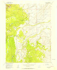
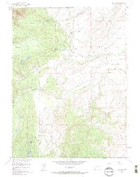
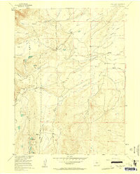
Editions of this 1955 Teal Lake Map
6 editions found
Other maps of this area

1911 · Hahns Peak
USGS Topo · 1:125,000

1913 · Hahns Peak
USGS Topo · 1:125,000

1954 · Craig
USGS Topo · 1:250,000

1955 · Buffalo Pass
USGS Topo · 1:24,000

1955 · Pitchpine Mountain
USGS Topo · 1:24,000

1955 · Mount Ethel
USGS Topo · 1:24,000

1955 · Teal Lake
USGS Topo · 1:24,000

1955 · Delaney Butte
USGS Topo · 1:24,000

1955 · Coalmont
USGS Topo · 1:24,000

1955 · Mount Ethel
USGS Topo · 1:62,500