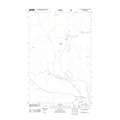
2011 Map of Teanaway Butte
USGS Topo · Published 2011About this map
The Middle Fork Teanaway River and its numerous tributaries, including Malcolm Creek and Way Creek, dominate this part of Kittitas County. In the early 21st century, this landscape was defined by its high-elevation landmarks and recreational sites, such as the Teanaway Butte Lookout situated atop Teanaway Butte. The convergence of the West, Middle, and North forks of the Teanaway River in the southern portion of the map highlights a critical watershed junction.
Find a feature on this map
35 named features on this map. Tap any name to fly to it.
Don’t see what you’re looking for? This feature index may not catch every label — zoom into the map to look around manually.
Map Details
Editions of this 2011 Teanaway Butte Map
This is the sole edition of this map. No revisions or reprints were ever made.
Other maps of this area
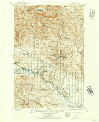
1897 · Mount Stuart
USGS Topo · 1:125,000
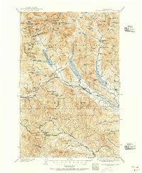
1901 · Snoqualmie Pass
USGS Topo · 1:125,000
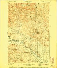
1902 · Mount Stuart
USGS Topo · 1:125,000
1903 · Snoqualmie
USGS Topo · 1:125,000
1957 · Wenatchee
USGS Topo · 1:250,000
1958 · Cle Elum
USGS Topo · 1:62,500
1961 · Mount Stuart
USGS Topo · 1:62,500
1961 · Easton
USGS Topo · 1:62,500
1961 · Kachess Lake
USGS Topo · 1:62,500
1975 · Snoqualmie Pass
USGS Topo · 1:100,000