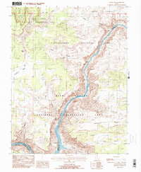
1988 Map of Teapot Rock
USGS Topo · Published 1988About this map
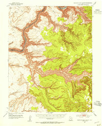
Cataract Canyon dominates this landscape, where the Colorado River carves through the sandstone plateaus of southern Utah. This 1980s-era study captures the intersection of Canyonlands National Park and the Glen Canyon National Recreation Area, documenting the river's path as it transitions into the northern reaches of Lake Powell. The map detail reveals a complex network of drainage systems and isolated landforms, such as the distinctive Teapot Rock and the surrounding Teapot Canyon. To the west, the broad expanse of Waterhole Flat and the high plateaus of Lands End contrast with the deeply incised gorges of Calf Canyon and Gypsum Canyon. The mapping of these remote valleys, including Imperial Valley and Bull Valley, provides a precise look at the geography of Garfield and San Juan counties before modern recreational developments further altered the backcountry access.
Find a feature on this map
21 named features on this map. Tap any name to fly to it.
Don’t see what you’re looking for? This feature index may not catch every label — zoom into the map to look around manually.
Map Details
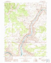
Editions of this 1988 Teapot Rock Map
2 editions found
Other maps of this area

1885 · San Rafael
USGS Topo · 1:250,000
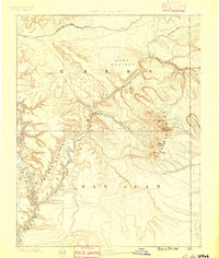
1885 · La Sal
USGS Topo · 1:250,000

1886 · Henry Mountains
USGS Topo · 1:250,000
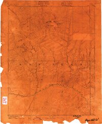
1886 · Abajo
USGS Topo · 1:250,000
1892 · Abajo
USGS Topo · 1:250,000

1892 · Henry Mountains
USGS Topo · 1:250,000
1893 · Abajo
USGS Topo · 1:250,000
1935 · Elk Ridge
USGS Topo · 1:96,000
1940 · Elk Ridge
USGS Topo · 1:125,000
1952 · Mouth of Dark Canyon
USGS Topo · 1:62,500