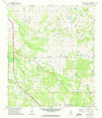
1971 Map of Teasleys Mill
USGS Topo · Published 1974About this map
Teasleys Mill and the surrounding rural landscapes of Montgomery County are documented here in the early 1970s, showing a transition between agricultural tradition and modern road development. The terrain is defined by several prominent rises including Carters Hill, Shepherd Hill, and Briar Hill, which overlook a network of watercourses like Little Catoma Creek and Sandy Creek. Small, dispersed settlements and local landmarks reveal the area's community structure, with centers of activity at Mamie, Canty, and Downing.
Find a feature on this map
33 named features on this map. Tap any name to fly to it.
Don’t see what you’re looking for? This feature index may not catch every label — zoom into the map to look around manually.
Map Details
Editions of this 1971 Teasleys Mill Map
2 editions found
Other maps of this area

1953 · Montgomery
USGS Topo · 1:250,000

1955 · Phenix City
USGS Topo · 1:250,000

1956 · Montgomery
USGS Topo · 1:250,000

1957 · Phenix City
USGS Topo · 1:250,000

1957 · Montgomery
USGS Topo · 1:250,000

1958 · Phenix City
USGS Topo · 1:250,000

1958 · Mount Meigs
USGS Topo · 1:62,500
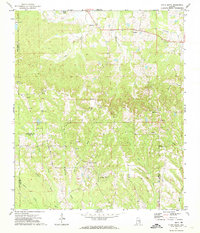
1971 · China Grove
USGS Topo · 1:24,000
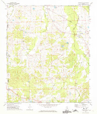
1971 · Fitzpatrick
USGS Topo · 1:24,000

1971 · Davis Crossroads
USGS Topo · 1:24,000