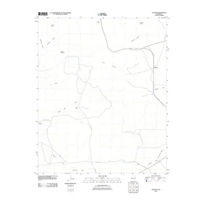
2010 Map of Techado
USGS Topo · Published 2010About this map
The settlement of Techado sits in a high-desert landscape defined by drainage patterns and ranching legacy. This terrain is marked by prominent elevations like Hogeye Mountain and Cerro Blanco, while lower reaches are characterized by numerous arroyos including Single Mill Draw, Nations Draw, and Sonoreno Draw. The map documents a sparsely populated region where life revolves around water and land management, evidenced by isolated outposts such as Towner Ranch, Davis Ranch, and Browns Ranch. A network of local infrastructure like Hubbell Rd and County Rd A034 connects these remote sites. Notable for those tracking land use and rural history, the map also identifies localized landmarks such as Twin Windmills and named topographic features like Gobbler Knob, providing a clear look at the intersection of geology and historic ranching boundaries in Cibola County.
Find a feature on this map
24 named features on this map. Tap any name to fly to it.
Don’t see what you’re looking for? This feature index may not catch every label — zoom into the map to look around manually.
Map Details
Editions of this 2010 Techado Map
This is the sole edition of this map. No revisions or reprints were ever made.
Other maps of this area

1954 · Saint Johns
USGS Topo · 1:250,000

1957 · Saint Johns
USGS Topo · 1:250,000

1958 · Saint Johns
USGS Topo · 1:250,000

1962 · Saint Johns
USGS Topo · 1:250,000
1967 · Mariano Springs
USGS Topo · 1:24,000
1967 · Chimney Hill
USGS Topo · 1:24,000
1967 · Adams Diggings
USGS Topo · 1:24,000
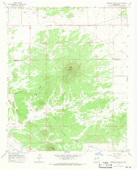
1967 · Veteado Mountain
USGS Topo · 1:24,000
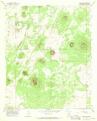
1967 · Cerro Pomo
USGS Topo · 1:24,000
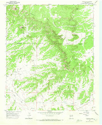
1967 · Techado
USGS Topo · 1:24,000