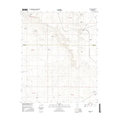
2017 Map of Techado
USGS Topo · Published 2017About this map
Techado serves as the central point of reference in this landscape of high desert drainage systems and dramatic topography. The settlement is positioned near where the Continental Divide National Scenic Trail traverses the eastern half of the map, tracing a route through the rugged breaks of McQuery Canyon and Lathert Canyon. The terrain is defined by a series of prominent elevations, including the heights of Hogeye Mtn and Cerro Blanco, which rise above a network of dry washes and seasonal watercourses.
Find a feature on this map
33 named features on this map. Tap any name to fly to it.
Don’t see what you’re looking for? This feature index may not catch every label — zoom into the map to look around manually.
Map Details
Editions of this 2017 Techado Map
This is the sole edition of this map. No revisions or reprints were ever made.
Other maps of this area

1954 · Saint Johns
USGS Topo · 1:250,000

1957 · Saint Johns
USGS Topo · 1:250,000

1958 · Saint Johns
USGS Topo · 1:250,000

1962 · Saint Johns
USGS Topo · 1:250,000
1967 · Mariano Springs
USGS Topo · 1:24,000
1967 · Chimney Hill
USGS Topo · 1:24,000
1967 · Adams Diggings
USGS Topo · 1:24,000
1967 · Veteado Mountain
USGS Topo · 1:24,000
1967 · Cerro Pomo
USGS Topo · 1:24,000
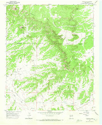
1967 · Techado
USGS Topo · 1:24,000