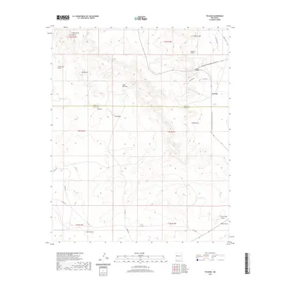
2020 Map of Techado
USGS Topo · Published 2020About this map
Techado sits at the high-desert intersection of rural transit and natural drainages in this modern survey of the borderlands between Cibola and Catron counties. The landscape is defined by a series of prominent peaks and canyons, most notably Hogeye Mtn and the isolated rise of Gobbler Knob. Water management and natural flow are central to the geography here, evidenced by the numerous named drainages such as Lee Draw, Frenches Draw, and the extensive Techado Draw.
Find a feature on this map
33 named features on this map. Tap any name to fly to it.
Don’t see what you’re looking for? This feature index may not catch every label — zoom into the map to look around manually.
Map Details
Editions of this 2020 Techado Map
This is the sole edition of this map. No revisions or reprints were ever made.
Other maps of this area

1954 · Saint Johns
USGS Topo · 1:250,000

1957 · Saint Johns
USGS Topo · 1:250,000

1958 · Saint Johns
USGS Topo · 1:250,000

1962 · Saint Johns
USGS Topo · 1:250,000

1967 · Mariano Springs
USGS Topo · 1:24,000

1967 · Chimney Hill
USGS Topo · 1:24,000

1967 · Adams Diggings
USGS Topo · 1:24,000

1967 · Veteado Mountain
USGS Topo · 1:24,000
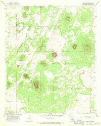
1967 · Cerro Pomo
USGS Topo · 1:24,000
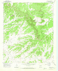
1967 · Techado
USGS Topo · 1:24,000