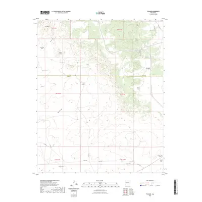
2023 Map of Techado
USGS Topo · Published 2023About this map
Techado sits at a crossroads of land and water in the high desert, straddling the county line between Cibola and Catron. This high-altitude landscape is defined by its series of deep drainages, including McQuery Canyon and Lathert Canyon, which channel seasonal water toward Techado Draw and Nations Draw. The terrain is punctuated by distinctive landforms such as Hogeye Mountain and Cerro Blanco, while Gobbler Knob marks a high point to the north.
Find a feature on this map
34 named features on this map. Tap any name to fly to it.
Don’t see what you’re looking for? This feature index may not catch every label — zoom into the map to look around manually.
Map Details
Editions of this 2023 Techado Map
This is the sole edition of this map. No revisions or reprints were ever made.
Other maps of this area

1954 · Saint Johns
USGS Topo · 1:250,000

1957 · Saint Johns
USGS Topo · 1:250,000

1958 · Saint Johns
USGS Topo · 1:250,000

1962 · Saint Johns
USGS Topo · 1:250,000

1967 · Mariano Springs
USGS Topo · 1:24,000

1967 · Chimney Hill
USGS Topo · 1:24,000

1967 · Adams Diggings
USGS Topo · 1:24,000

1967 · Veteado Mountain
USGS Topo · 1:24,000
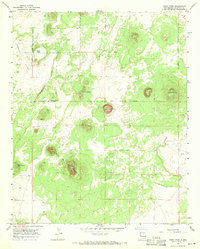
1967 · Cerro Pomo
USGS Topo · 1:24,000
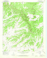
1967 · Techado
USGS Topo · 1:24,000